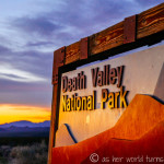
We are in Death Valley National Park for less than two days and I never expected to get this many blog posts out of the trip. But our final hours here bring more photo ops and I just can’t put my camera down.
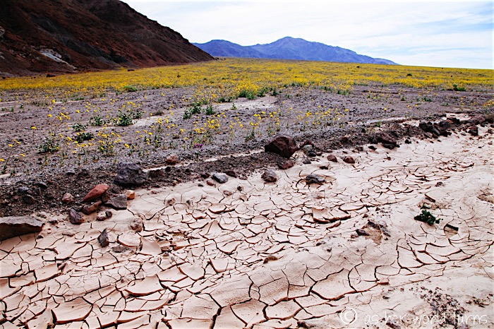
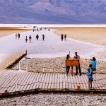
Already it’s been a busy morning — we got up early to catch sunrise, then we hiked Golden Canyon, and then drove down to the lowest point in North America at Badwater Basin. Now we’ll head about 18 miles south of there to see more wildflowers.
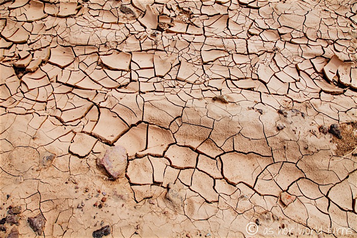
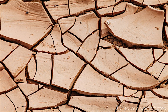
This is what I picture when I think of Death Valley — iconic cracks in the earth, ground hard and dry like clay pottery.
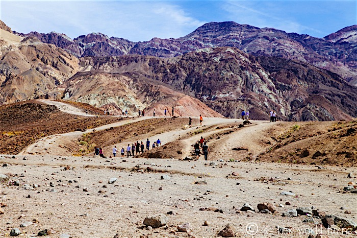
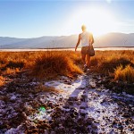
We approach Sidewinder Canyon, our turnaround point. You can go further south (and indeed, there are more wildflowers) but we decide to turn around here before it gets later in the day. In fact, if we had more time, Sidewinder Canyon was the other hike recommended to us by a ranger at the Death Valley Visitor’s Center — there are slot canyons within its depths. But if memory serves correct it’s two miles each way and we just don’t have the time to hike it.
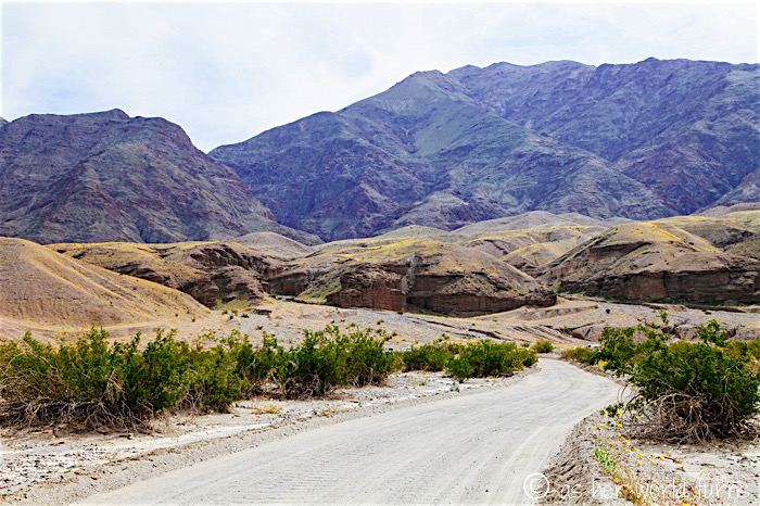
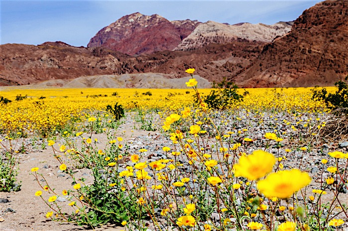
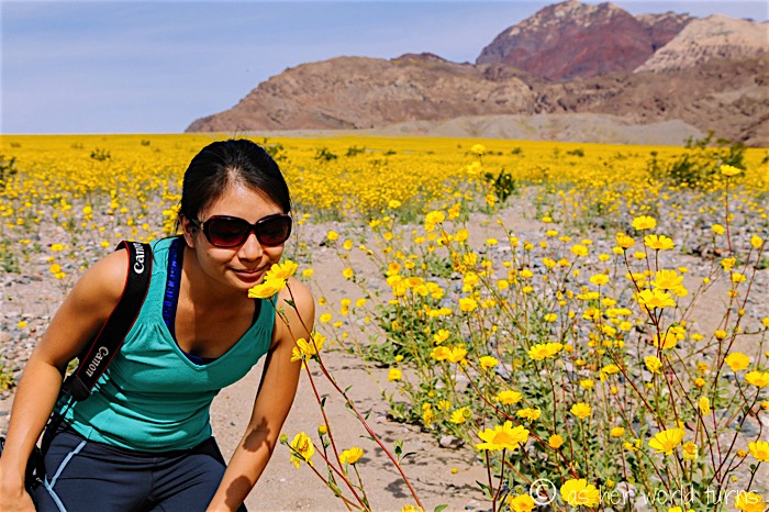
Check out the yellow flower-covered hills above and below, as we turn around in the parking lot at Sidewinder Canyon.
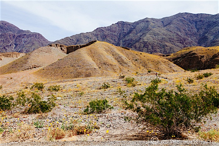
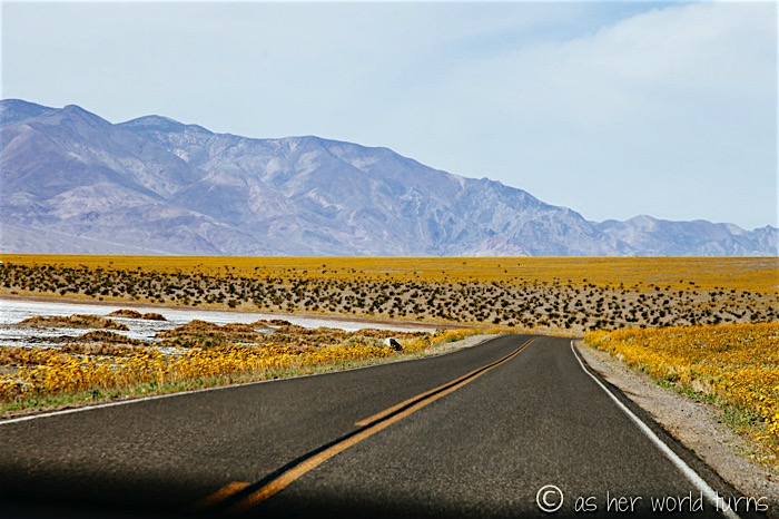
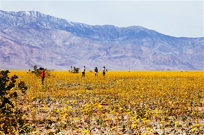
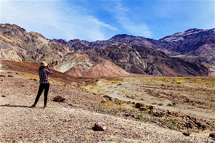
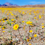
We stop off a few final times to admire the fields of wildflowers; they are so thick and dense along this stretch just south of Badwater Basin (photos taken on 2/28/16). It looks like CGI but this is the real deal.
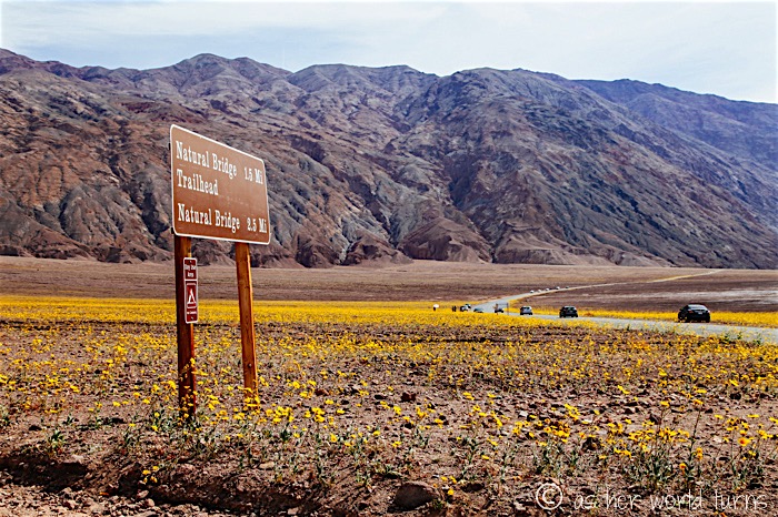
We drive further north, opting to skip this turn off for the Natural Bridge. We’ve still got a bit more to explore before we get back to Furnace Creek for lunch — and after our 5:30am wake-up, we’re hungry already.
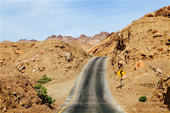
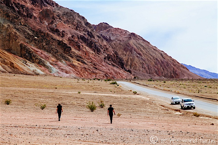
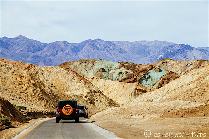
Yesterday the ranger told us not to miss Artist’s Drive loop, a one-way road that winds through naturally colorful cliffs for nine miles. Here is our first stop, looking back down towards the valley of Death Valley:
Start of the painted cliffs:
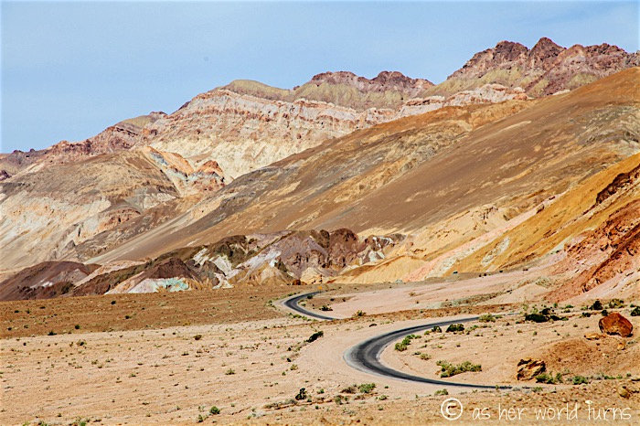
As I mentioned, the road is one-way. There are some deep dips and curves in the road that will keep you on your toes.
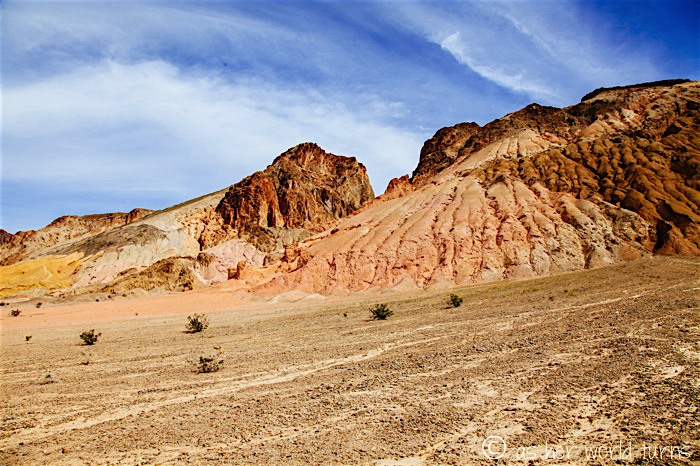
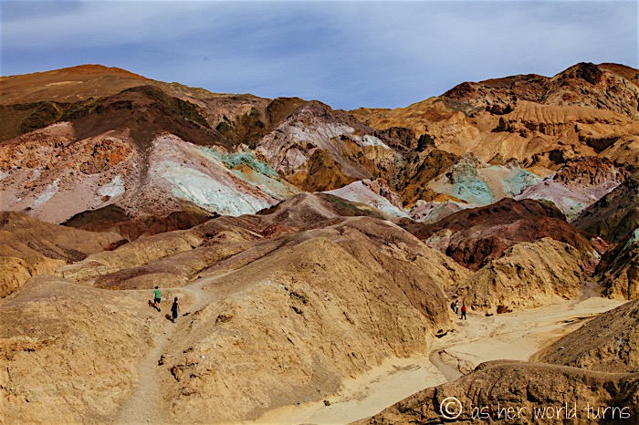
See the color in the rock below? We’re getting closer to the section with the brightest colors.
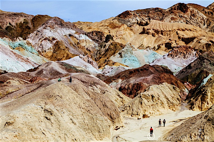
I spy a colorful patch below — greens, oranges, pinks, and browns.
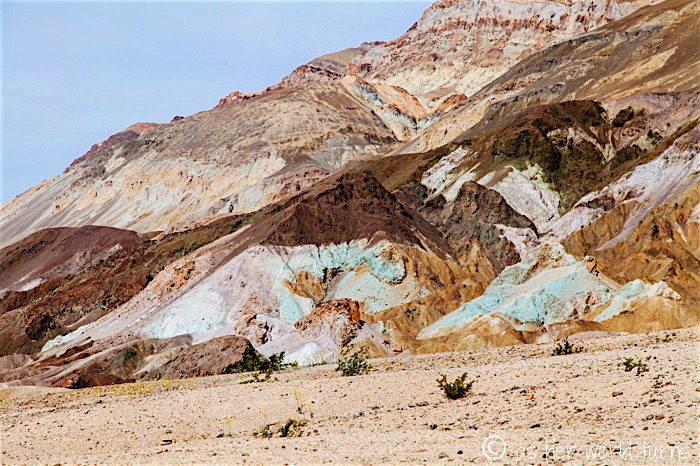
When we get closer, we see there’s a proper turn off area. This is called Artist’s Palette for obvious reasons.
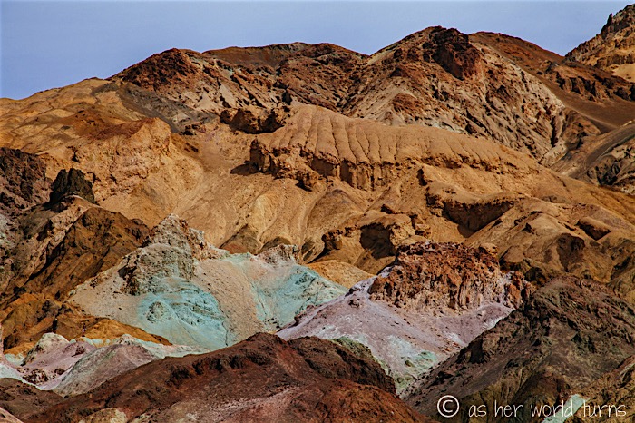
The colors aren’t popping in my photos the way they do in real life, so I adjust my camera settings for a darker exposure. Now the hues show through a little better.
Mint green hills in the distance below:
Just before reaching Furnace Creek, we stop at an opulent-looking hotel called The Inn at Furnace Creek. Sure, twist our arms — we’ll check it out.
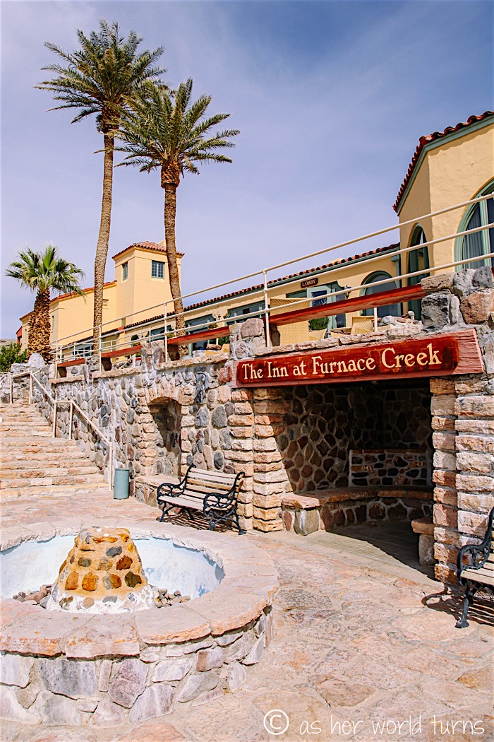
There’s a public parking lot and visitors can roam the grounds. Oddly enough the lobby is relatively hidden depending on where you enter (it’s on the third floor). After about ten minutes we walk back to the car.
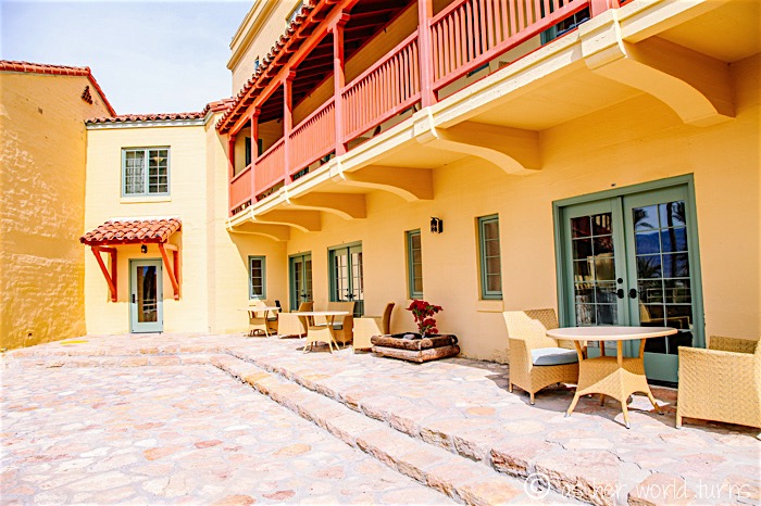
View walking back to the parking lot at The Inn:
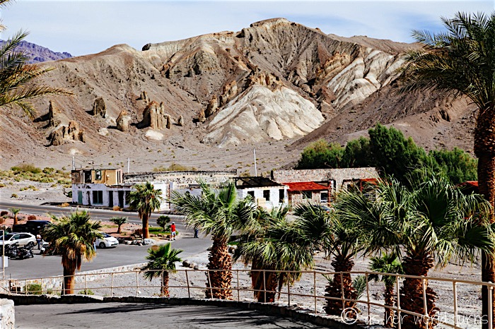
At this point, hunger sneaks up on us and we can’t wait for lunch. Unfortunately the restaurants at Furnace Creek are completely packed on this Sunday afternoon. We eventually get a table at one of them and place our order: two plates of chicken tenders with dipping sauce for $10 each. An hour later our food has yet to arrive and the waiters refuse to make eye contact because they are so understaffed. When people around us who showed up much later start getting their food, we figure the kitchen either lost or gave away our order, so we walk out (we hadn’t ordered drinks so there was nothing to pay for). How frustrating! But we should have anticipated the lunch rush given how many people visit the park on these super bloom weekends. Luckily we are stocked up on snacks in the car, since we won’t hit a town outside the park for several hours.
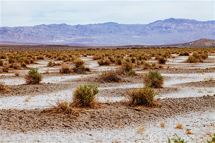
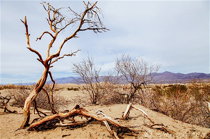
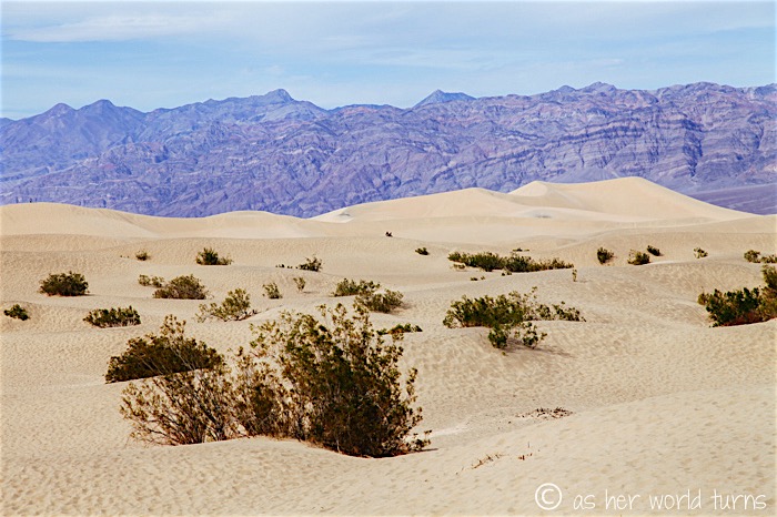
This area is called Devil’s Cornfield — thousands of these scruffy patches dot the desert landscape.
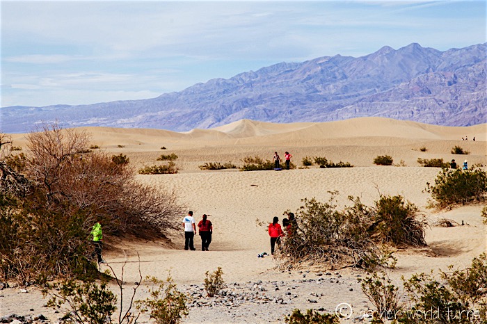
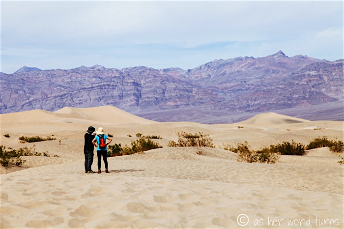
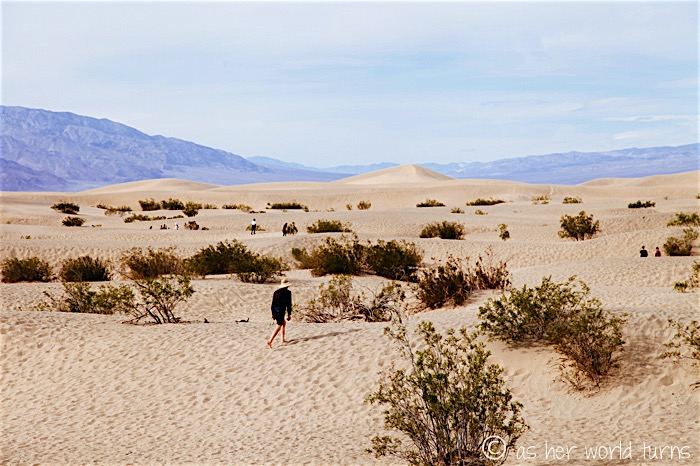
And finally, we make one last stop at the sand dunes near Stovepipe Wells. The night before I photographed them at twilight, but now we’ve returned in the daylight.
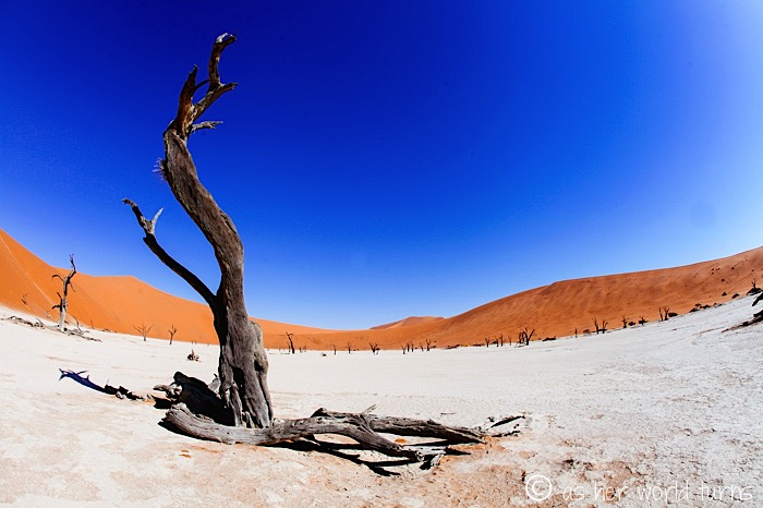
(Side note: this “L” tree reminds me of one I photographed near Namibia’s most iconic sand dunes, Sossuvlei.)
You can walk out pretty far. The crests of each dune appear to roll on forever.
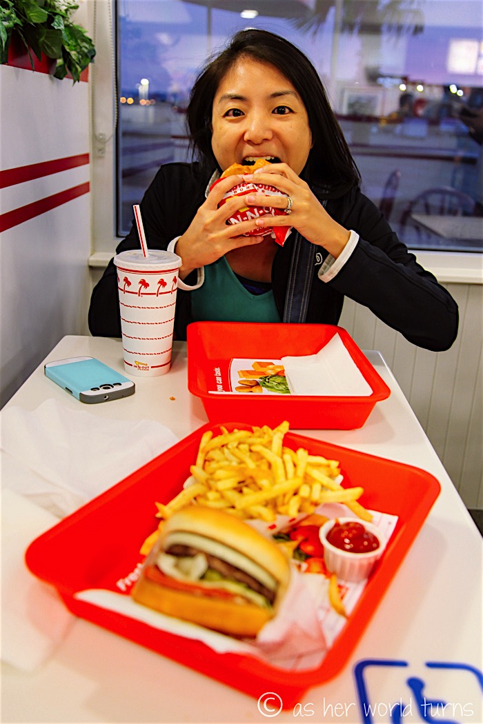
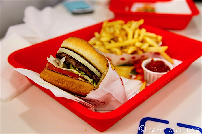
After our lunch fiasco, Jenny and I drive back to Los Angeles content to munch on snacks. But when we hit civilization around the Palmdale area it seems like a perfect time to get In N Out.
And that wraps up our two day road trip to Death Valley! To be honest, there’s still a lot more to do in the park, so these posts are by no means comprehensive. If I get back there in the future there’s more to see what we didn’t touch upon this trip. But I was so satisfied with this introduction to Death Valley, and grateful that parks like this are close enough in proximity to LA.
