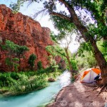
Oh man, this is a big day — we will descend 10 miles into the canyon to reach our campsite for the next two nights. But first breakfast.
All accommodation at Grand Canyon Caverns, from tents to motel rooms, comes with free breakfast at the diner. Irving and I are skeptical — are they talking dry toast? — but it ends up being a legit spread. There’s bagels, muffins, jam, peanut butter, danishes, pastries, cereal with milk, oatmeal packets, and an assortment of juice, tea, and coffee. Our campsite only costs $20 (that’s ten bucks each!) so this included breakfast is a good deal. By contrast, when my sister and I camped on the beach near Santa Barbara last year, the California State Parks charged $45 per camp site — breakfast not included.

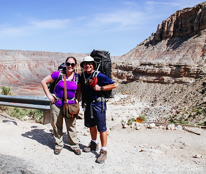
After breakfast, Irving and I spread out ALL of our stuff in the car. We make piles of what to bring and what to leave behind, paring our belongings down to the bare minimum. We’ll feel every ounce of weight on our backs during this trek so it’s imperative to leave behind anything non-essential.
In the end, this is what my pack looks like:
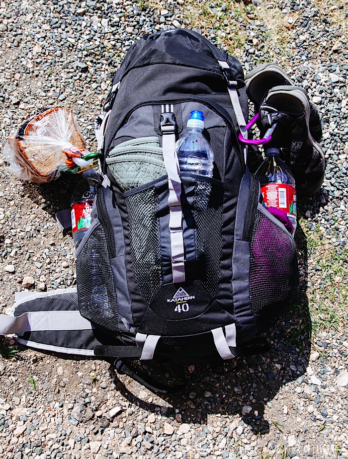
I strap my sandals to the pack with a carabiner, as well as a loaf of bread that we’ll use for lunch (we have a small jar of jam and peanut butter in our packs). This will turn out to be a bust — an hour into our trek, the bread starts turning into a bag of crumbs. It’s completely pulverized by the time we reach our campsite this evening. Whoops?
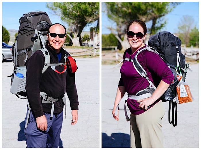
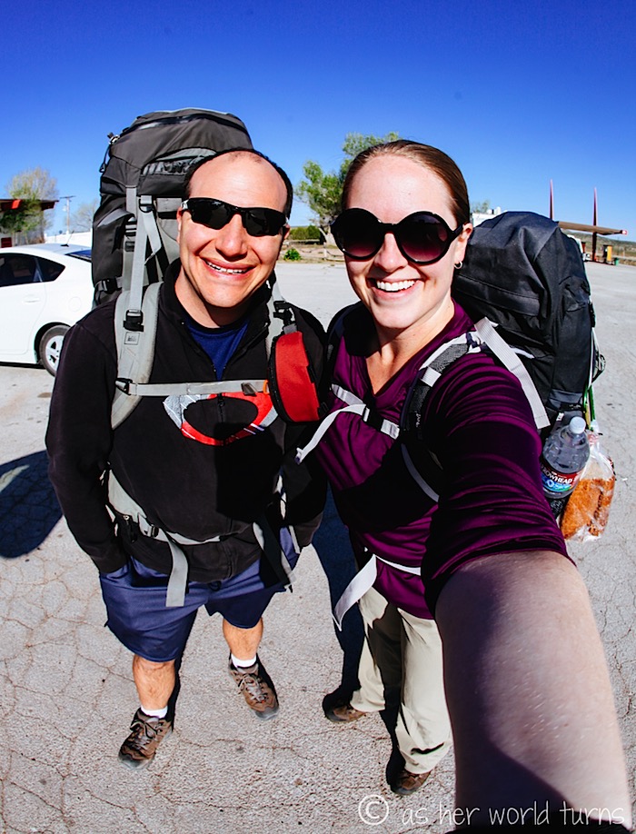
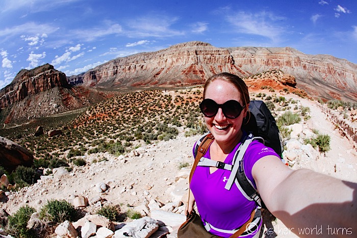
Here’s a shot with our final packs on. Irving’s is heavier than mine by about 15 lbs. — his weighs around 45, and I think mine weights around 30. But my other bag of camera equipment (which slings over one shoulder; not pictured below) adds nearly 15 lbs. The weight of our gear is not fun for either of us.
It takes us long enough to sort our gear that the battery in Irving’s car dies! A kind older man agrees to give us a jump. What a way to start the day.
From here, it’s an hour drive to the hilltop parking lot where we will leave the car and begin hiking. And there’s nothing but cattle along that 60 mile stretch — no gas, no food, no campgrounds, no lodging. The area we’re in now — Peach Springs and Grand Canyon Caverns (located about 5 miles apart from each other) — are the last places to stop before this 60-mile road to the hilltop parking lot. As the signs warn, make sure you have enough gas to get there and back. Trip Advisor has named Havasu Falls as one of the 10 most remote places on the planet and, in addition to the 10 miles required to hike there, we suspect it has to do with the fact that the parking lot is 60 miles from any major road.
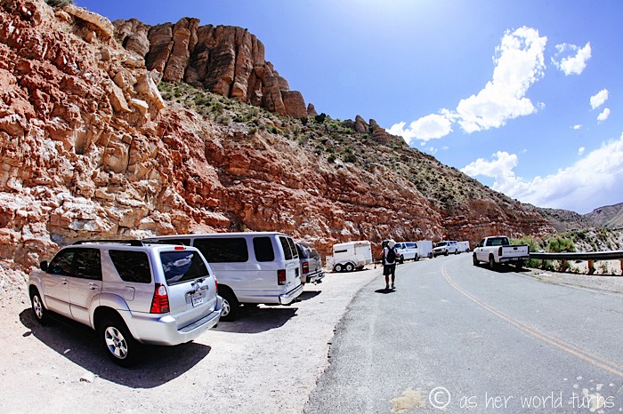
We’ve read a lot about this entire hike but the details were fuzzy — actually seeing everything in person crystalizes the experience for us. For example, prior to arrival we wondered if it’s possible to camp at the parking lot? Answer: no, that’s a horrible idea, camp at the nearest campground like we did an hour away. The parking lot is busy and you might have to park a half mile up the road on gravel; it’s not a comfortable place to spend the night. You could sleep inside your car but the Grand Canyon Caverns are a much nicer experience.
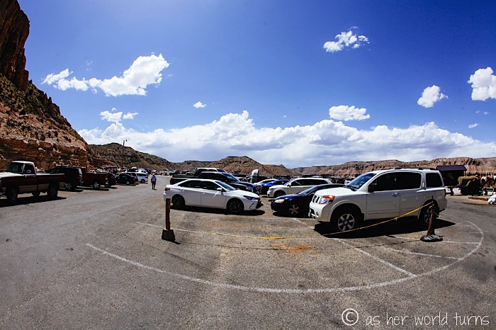
The parking lot is most busy around the weekend (Friday to Monday) and since today is Sunday, the closest available parking spot is quite far from the trailhead. Cars squeeze in along the roadside winding away from the lot.
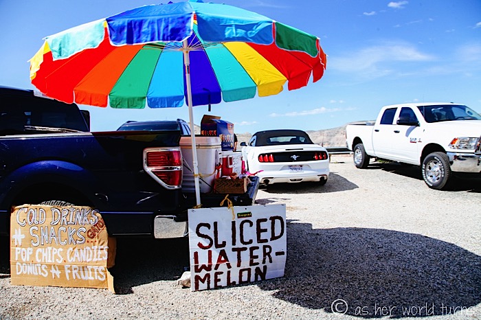
Should you want a last-minute snack or beverage, now’s the final chance until the tribal village located 8 miles into our 10 mile hike. Expect to pay a premium for any items purchased there.
Here is a map of the hiking route:
 (image via)
I found this photo on-line which shows the whole scope of the trek, from the hilltop parking lot all the way down to the village and waterfalls:
 (image via)
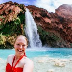
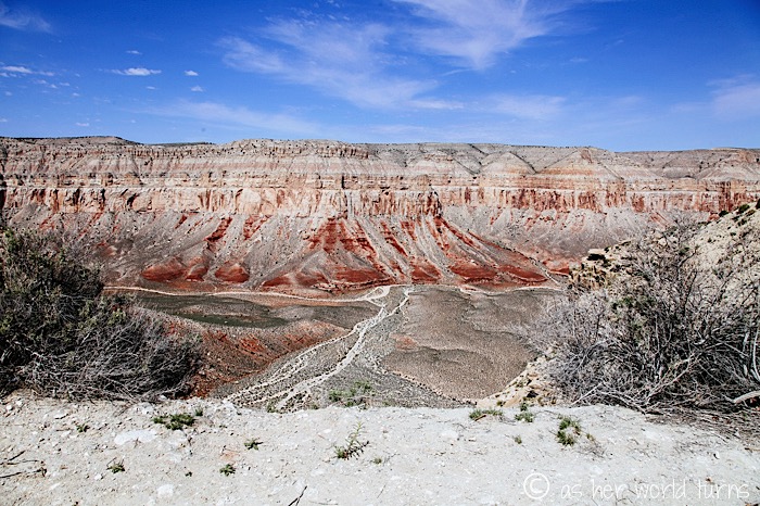
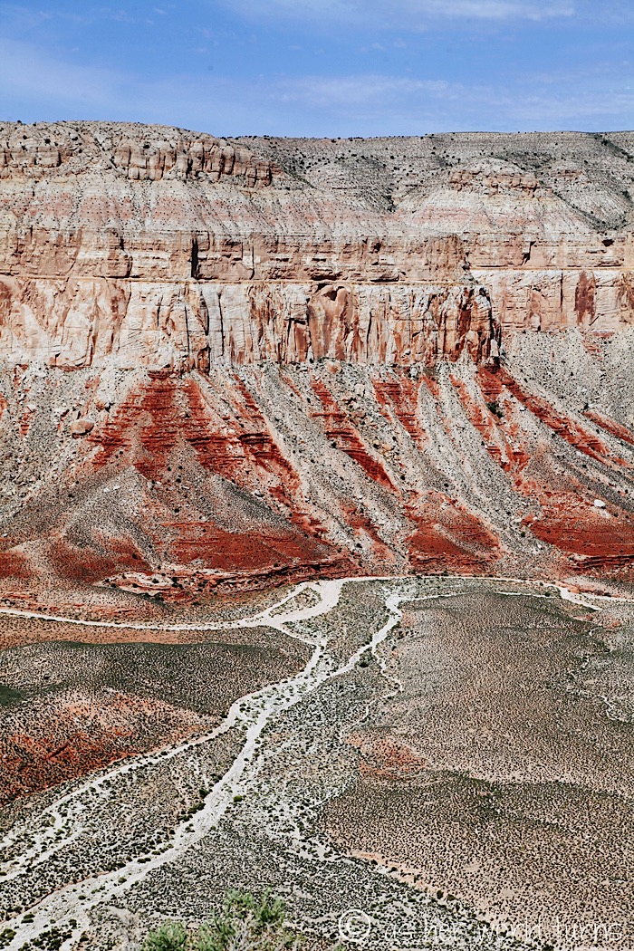
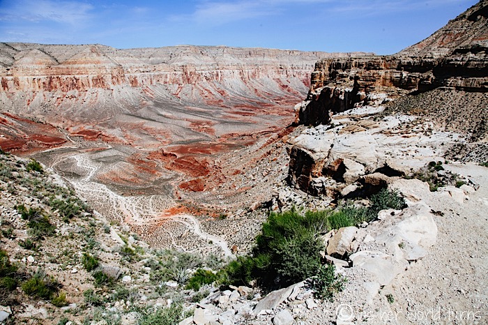
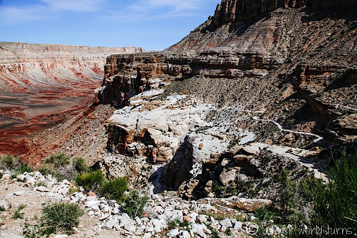
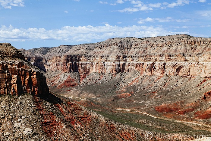
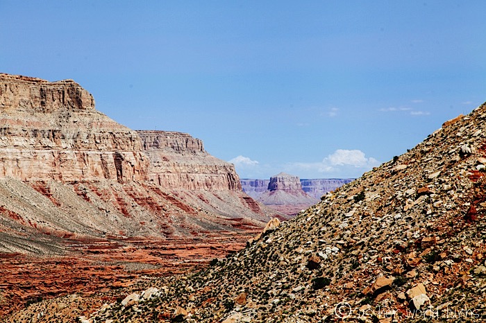
These views…! Are you kidding me? I’ll gladly hike 10 miles if this is in front of me.
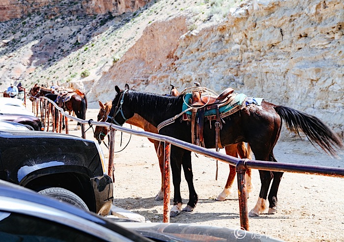
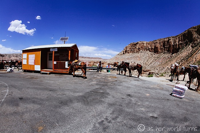
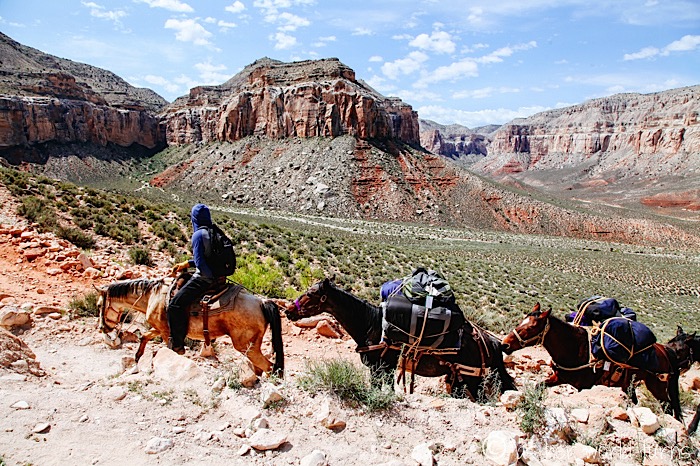
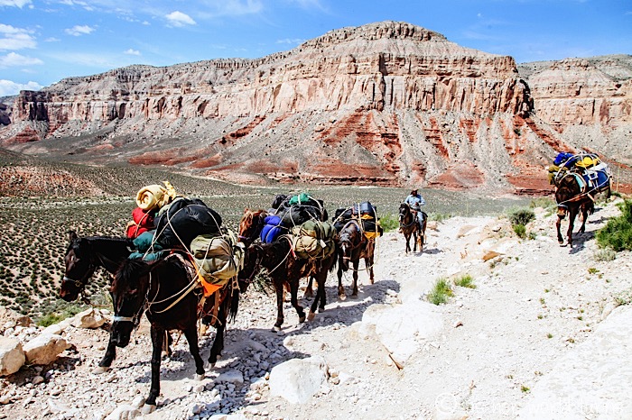
There are three ways to get down to the village — the first is using your own two feet, which is the mode of transportation that Irving and I have chosen. The second way is to ride a mule, although we only spot one couple doing that during our whole trip. (However for around $90 per mule, you can have them carry your belongings all 10 miles down to the campsite — and each mule carries about 3-4 bags, which breaks down to $25-$30 per bag if you split it with other people. Lots of hikers do this and it seems fairly safe.)
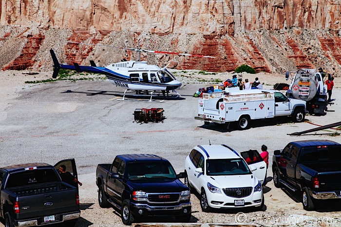
The third and final way to get down is via helicopter for $85 per person each way. Instead of hiking for four hours, you can fly that same distance in 4 minutes. You’ll miss the beauty of the trek but I imagine you gain a very cool perspective by seeing the canyon from above — plus your muscles will be fresh to explore the terrain around the campsite the next day. There are some caveats with flying — everyone must arrive early to put their names on a list; people flying in or out on tribal business will have priority, but any tourists who put their names down by a certain hour are guaranteed to fly that day (weather dependent). There is only one helicopter company running flights and they don’t operate every day (they fly two days a week in the low season and four days a week in the high season). If you want to hike on foot but fly your bags down, the helicopter company charges $25 per bag but they’ll be unattended at the other end until you can collect them — and according to the representative I spoke with on the phone, it’s fairly common for bags to get stolen at both ends (either the parking lot of the village). So flying is an option but look into the rules and decide if it’s worth it for you.
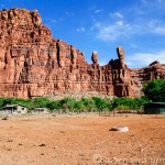
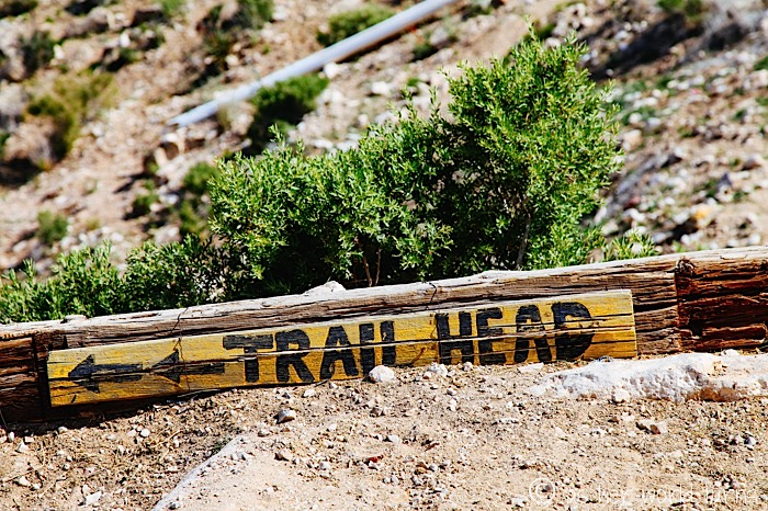
Here is the official trailhead — that office is where they arrange mules bring packs up and down the canyon.
It’s about two miles straight downhill, and then we’ll trek along the canyon floor for roughly six more miles until we reach the village. From there it’s an additional two miles to the campsite. So we’ll hike a total of 10 miles today… bring it!
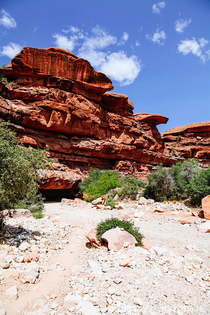
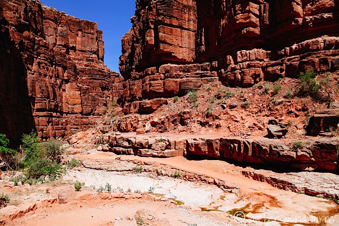
This next batch of shots are from the first few steep miles downhill — I’ll back off the commentary and let the photos do the talking. It’s so gorgeous and I feel really lucky to witness this with my own eyes and camera.
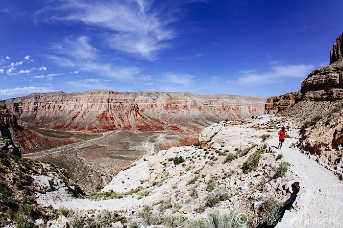
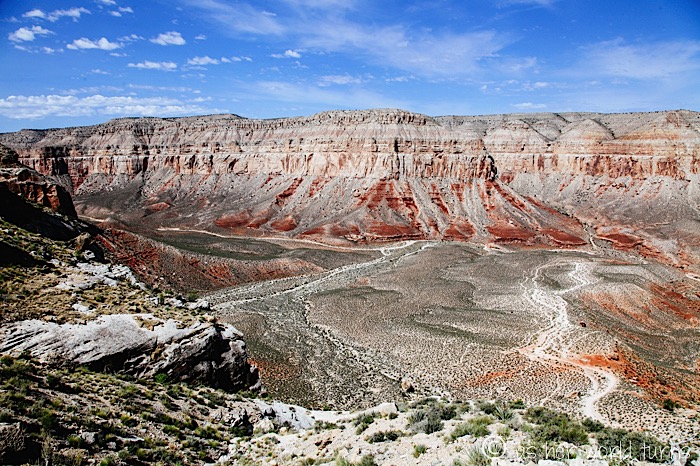
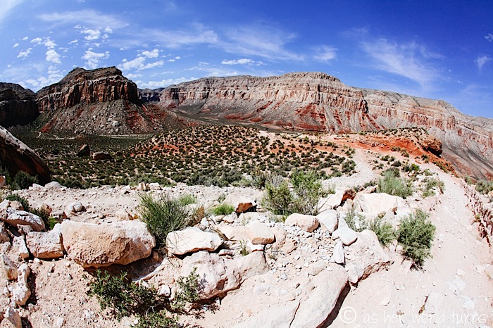
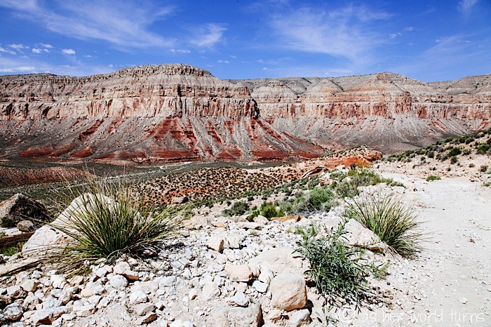
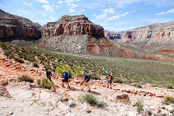
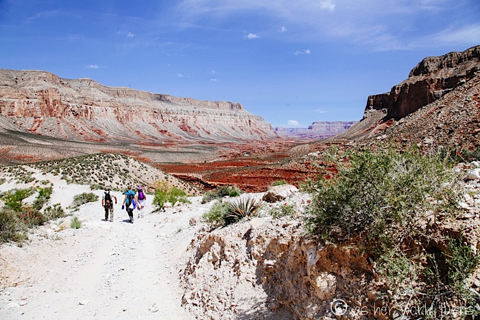
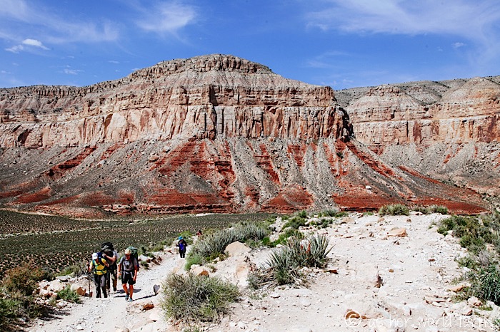
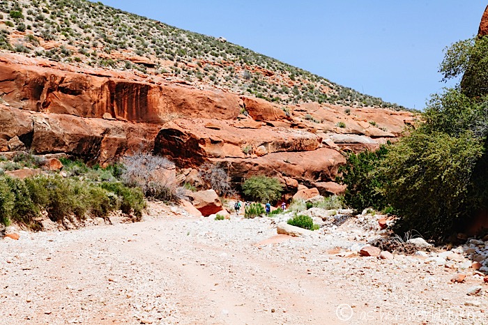
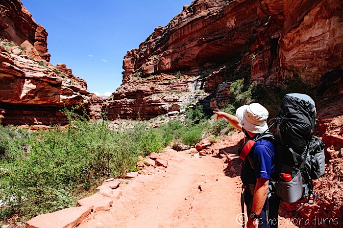
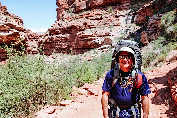
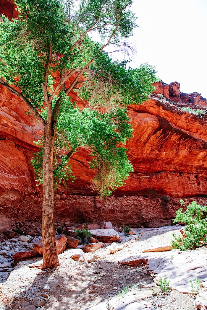
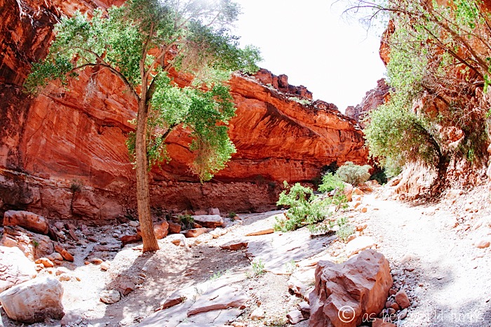
At this point, we are down on the canyon floor. The next six miles will be fairly easy, although we have enough weight on our backs to make it a challenge.
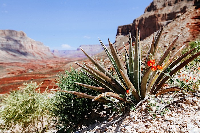
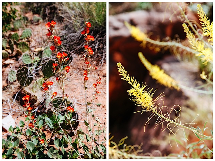
These trail flowers are impressive in color and shape:
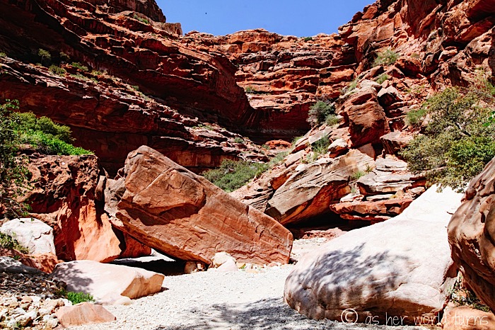
Some of the boulders down here are enormous.
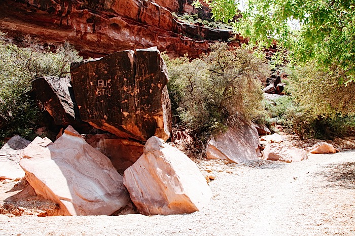
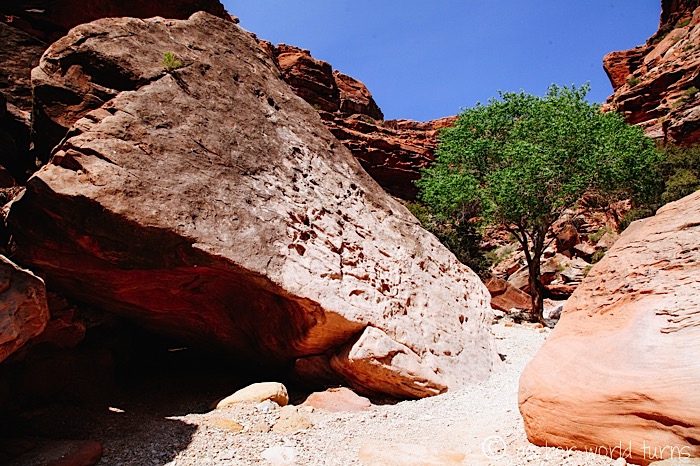
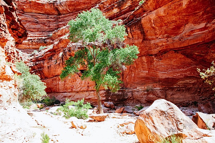
Every once in a while we encounter a giant green tree in the middle of this desert canyon.
From here, it’s just a hop, skip, and jump to the Havasupai village. More tomorrow!