On today’s day-long trip from Amman, we’ll head north to visit three major sites — Umm Qais, Ajloun Castle, and the ruins at Jerash.
Our favorite taxi driver Jamil has other plans for the day, but he’s given instructions to our new driver, because Jamil goes a special way to visit the north of Jordan. He drives within a few meters of the Israel border and then takes his guests to a lookout over Syria to glimpse refugees walking across the border en route to camps in Jordan.
Unfortunately our new driver doesn’t do any of this and merely drives the typical route. Jamil even calls mid-way through our day to remind him, but he still doesn’t take us (their conversation is in Arabic so we don’t find out until the next day when we ask Jamil what he was calling about). Bummer.
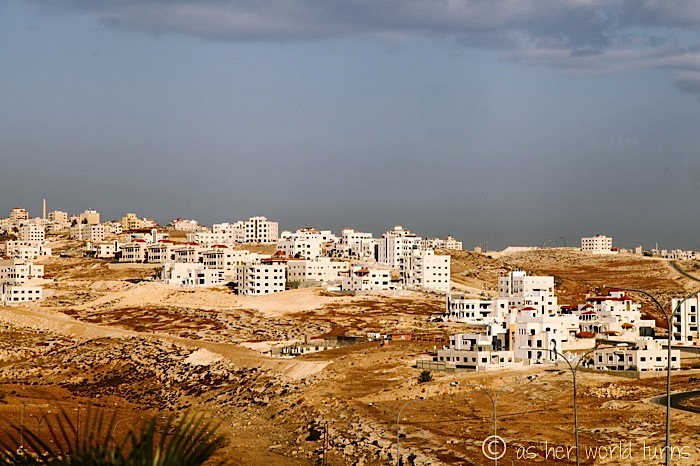
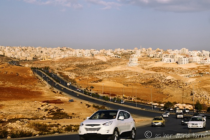
But on the way to our northernmost stop, we get within a few kilometers of the Syrian border. I ask my cab mates if they feel like going on an adventure but we decide to stay on course.
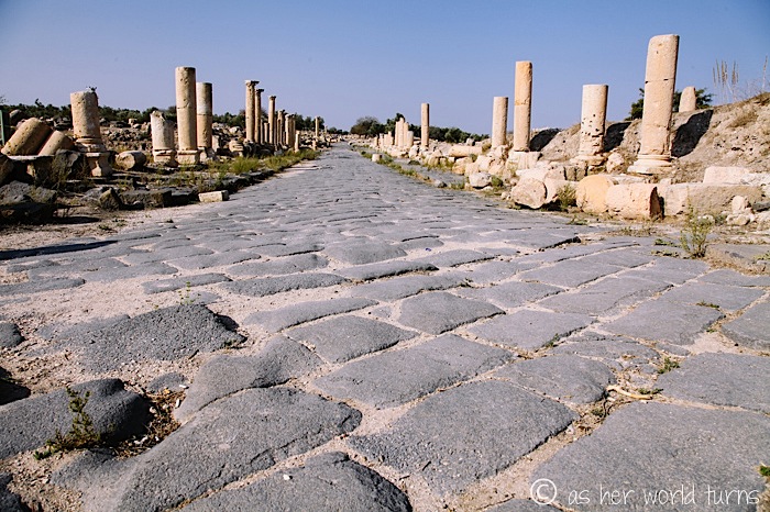
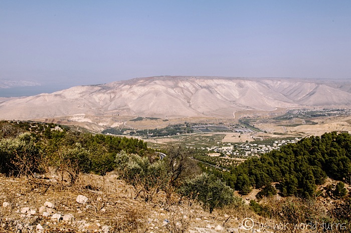
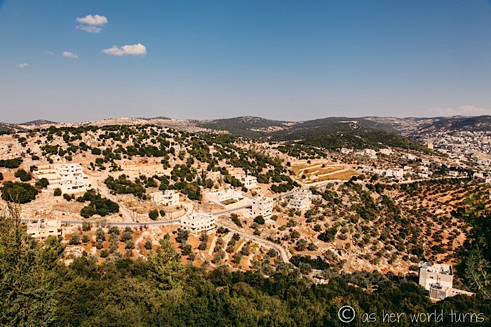
Umm Qais (pronounced “Ummm… K,” like a sassy teenager might retort) is a site of ancient ruins on a hill overlooking the Sea of Tiberias and Golan Heights in Israel.
My friend Mel lets me borrow her 10-20mm Sigma lens. Since my DSLR is a full frame camera — and this lens is intended for a crop sensor — I get this effect:
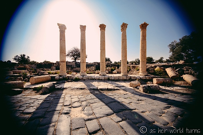
Oh well, worth a shot!
We wander the ruins for about an hour.
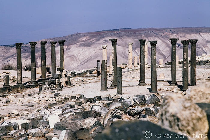
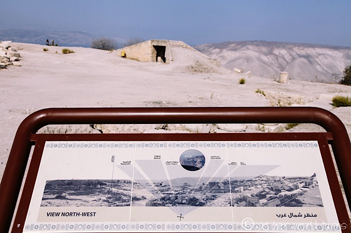
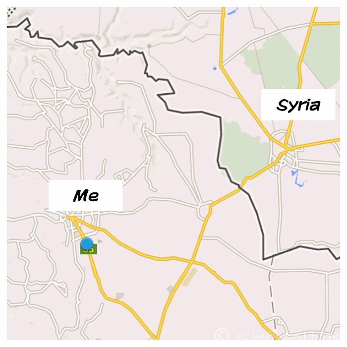
The above map pinpoints exactly what we’re looking at straight ahead in Israel — Golan Heights is that mound of land and the Sea of Tiberias is the body of water on the upper-left below.
I spy with my little eye… a widdle puddy tat.

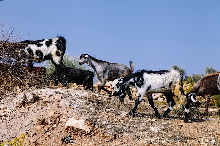
And some goats:
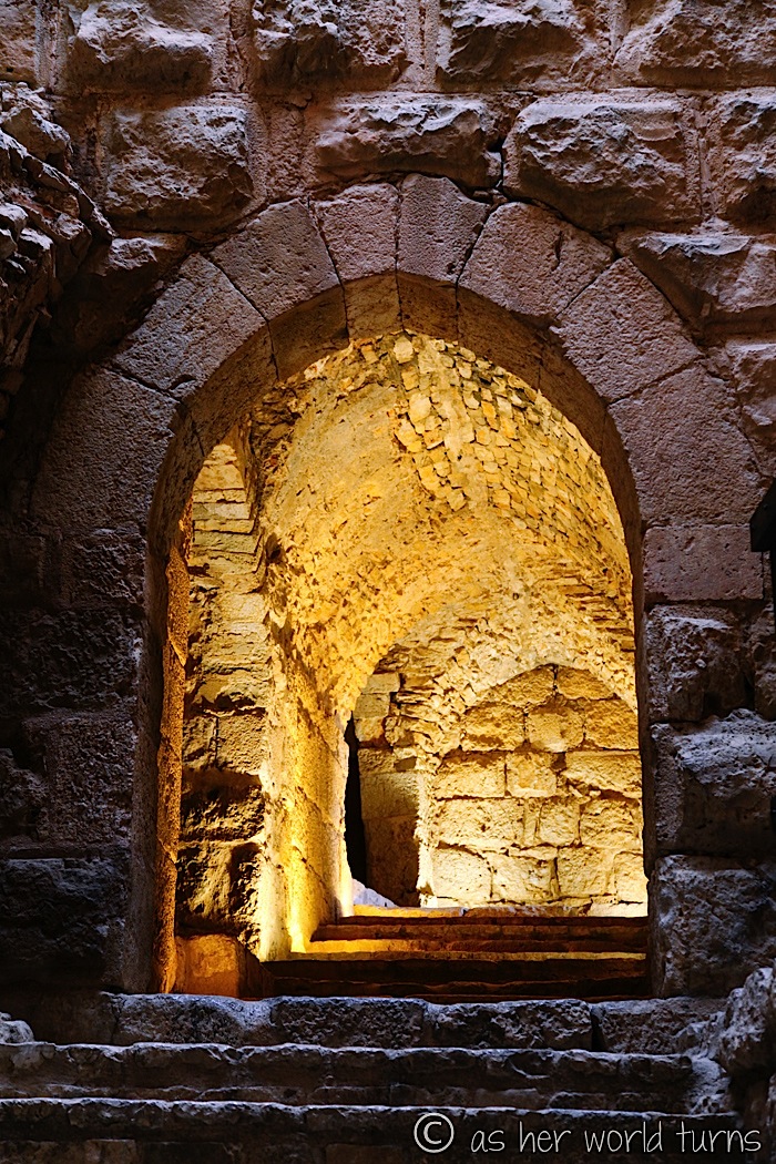
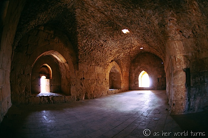
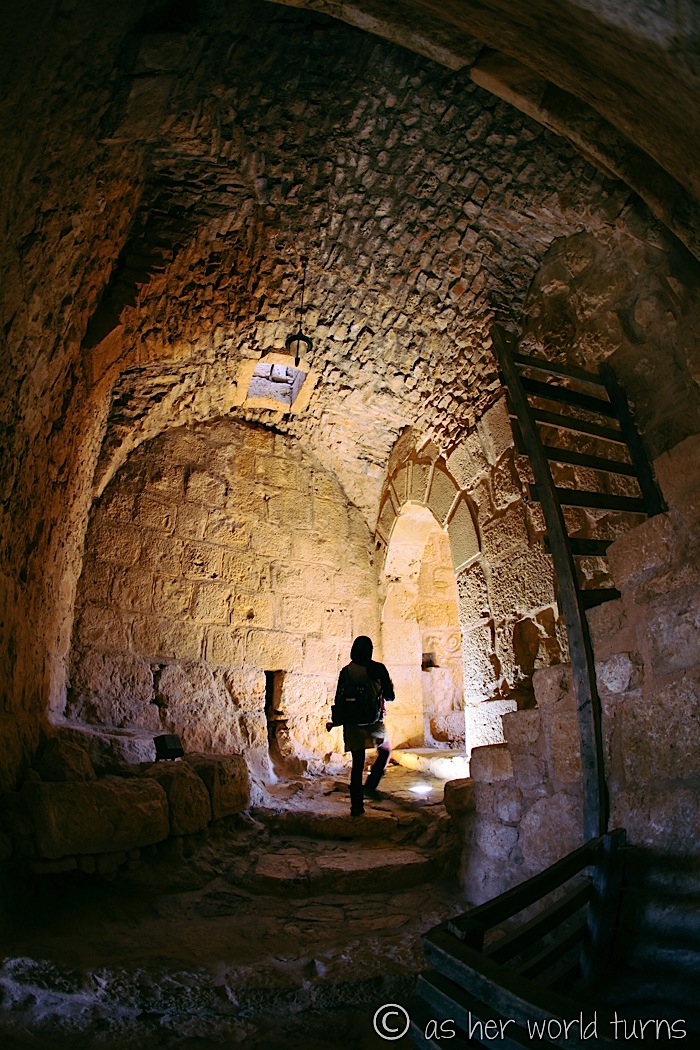
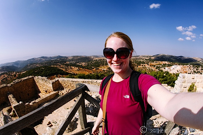
Onward to our next stop, Ajloun Castle (sometimes spelled Ajlun Castle).
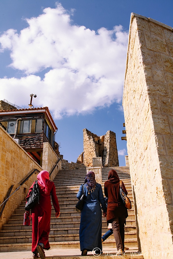
Ajloun Castle in all her glory:
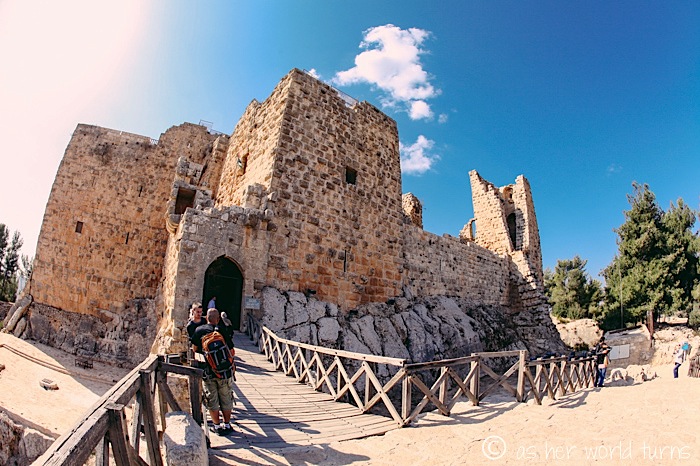
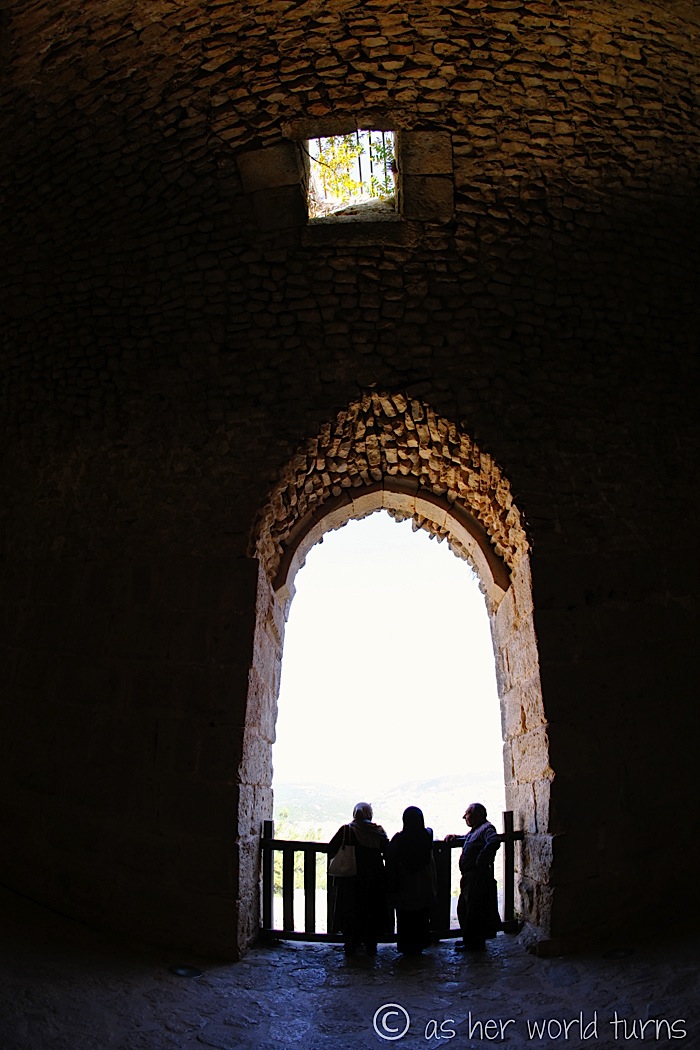
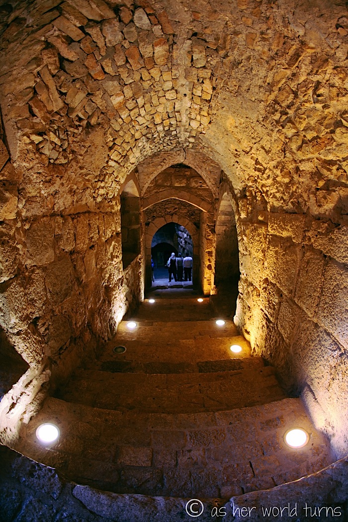
Unlike Umm Qais, which was an entire village of ruins, this is merely one building. But nonetheless it’s an impressive structure with dozens of rooms to explore — I feel like a little kid again wandering down the hallways, popping my head into nooks, and imagining what life would’ve been like in its heyday 800 years ago.
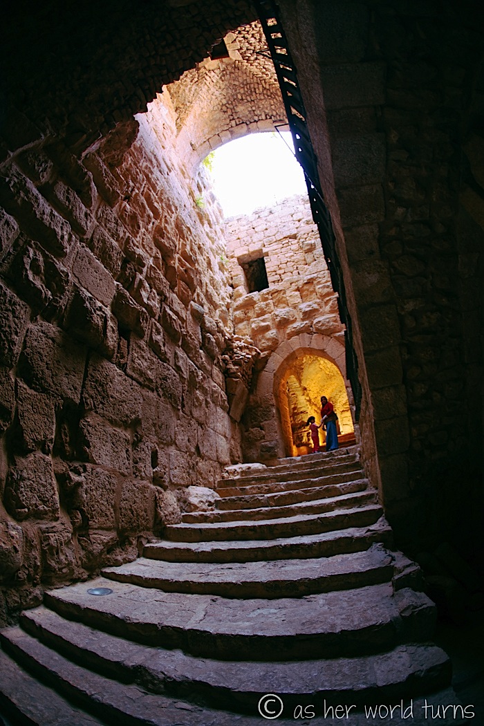
Plus the lighting is cool.
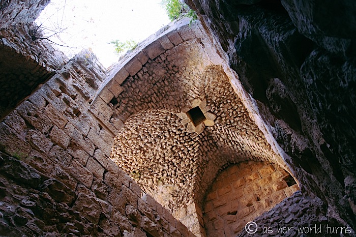
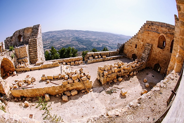
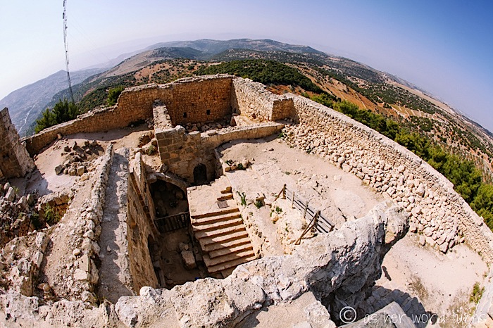
Check out these 360-degree views from the top.
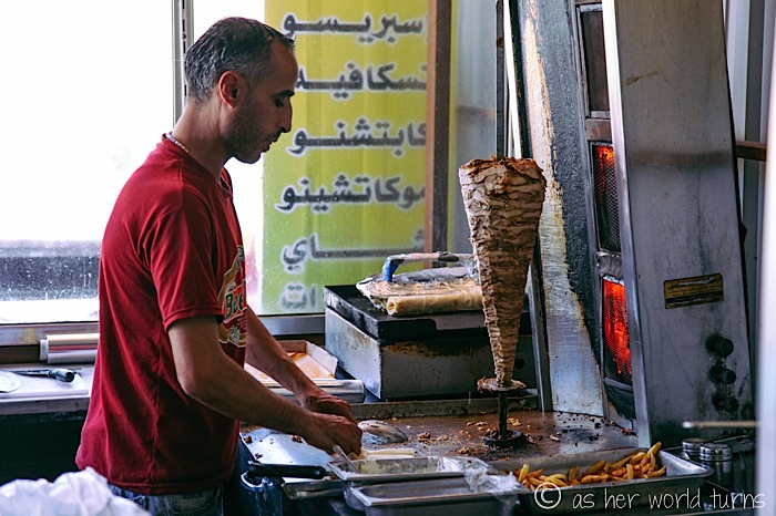
We grab a quick bite to eat at this nearby shawarma restaurant.
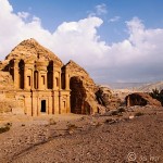
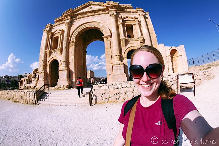
And then we’re off to our final destination of the day — and it’s also the most impressive, hence why it made the title of this post.
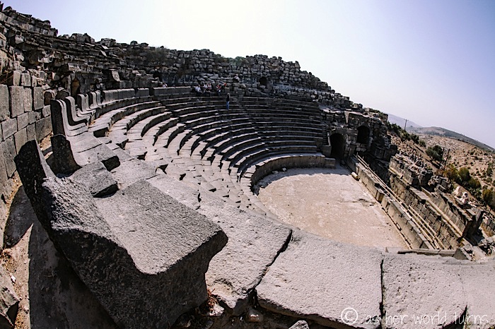
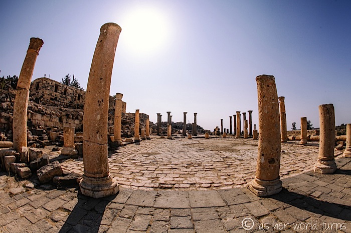
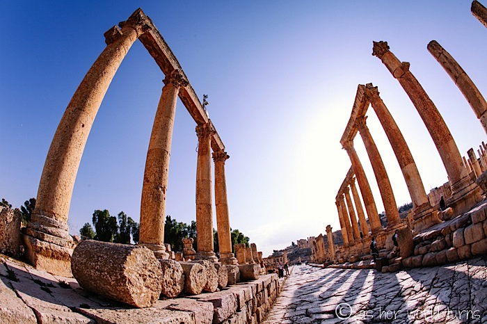
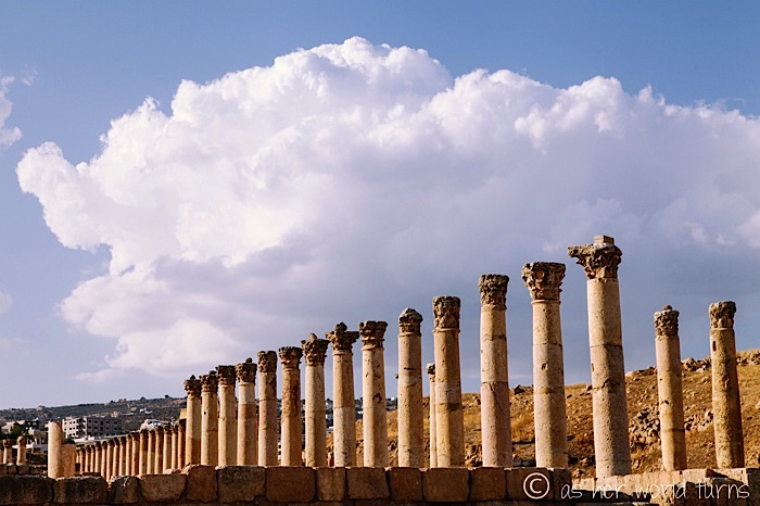
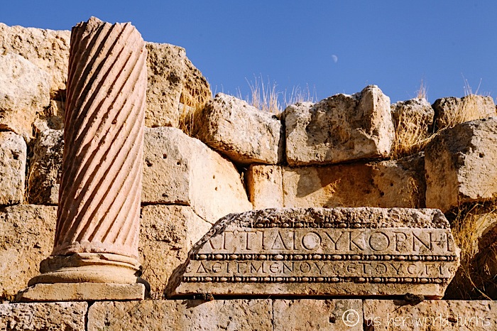
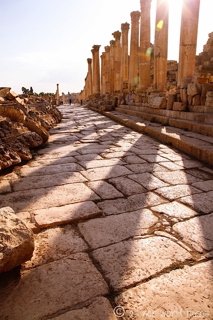
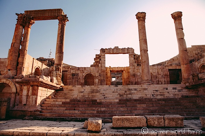
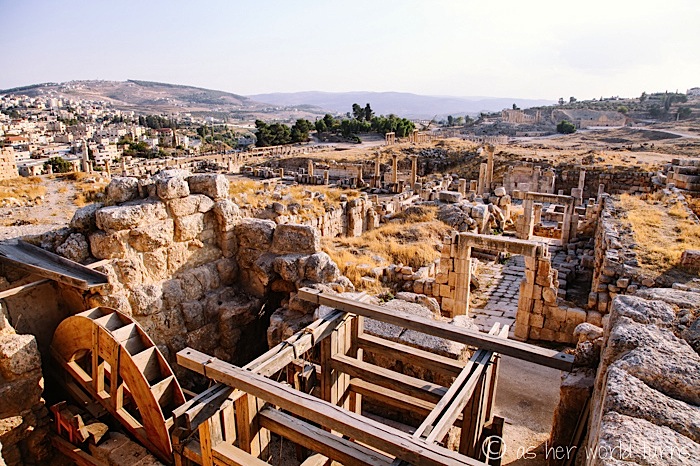
Allow me to introduce you to the ruins of Jerash.
Our friend Melanie says it’s like the ancient ruins of Ephesus in Turkey, but way less crowded. (Having since visited Ephesus, I concur.) Wikipedia takes things a step further, calling Jerash the “Pompeii of the MIddle East” due to its size, extent of excavation, and level of preservation… although no volcanoes were involved in preserving these ruins.
A short history lesson on Jerash:
Jerash became an urban center during the 3rd century BC and a member of the federation of Greek cities known as the Decapolis (“ten cities” in Greek). Jerash prospered during the 1st century BC as a result of its position on the incense and spice trade route from the Arabian Peninsula to Syria and the Mediterranean region. Jerash was a favorite city of the Roman emporer, Hadrian, and reached its zenith in AD 130, flourishing economically and socially. The city began to decline in the 3rd century, later becoming a Christian city under the rule of the Byzantine empire. The Muslims took over in AD 635, but the final blow to the city was dealt by Baldwin II of Jerusalem in AD 1112 during the Crusades. Modern Jerash sprawls to the east of the ruins, sharing the same city wall but little else. Thankfully, the ruins have been carefully preserved and spared from encroachment. (via)
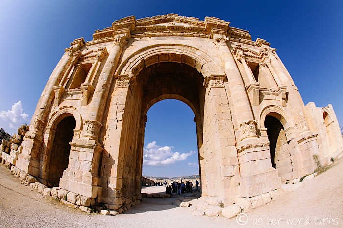
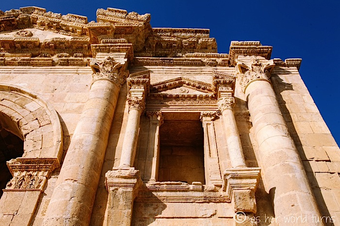
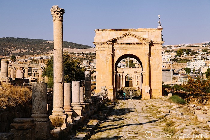
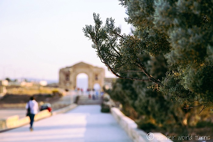
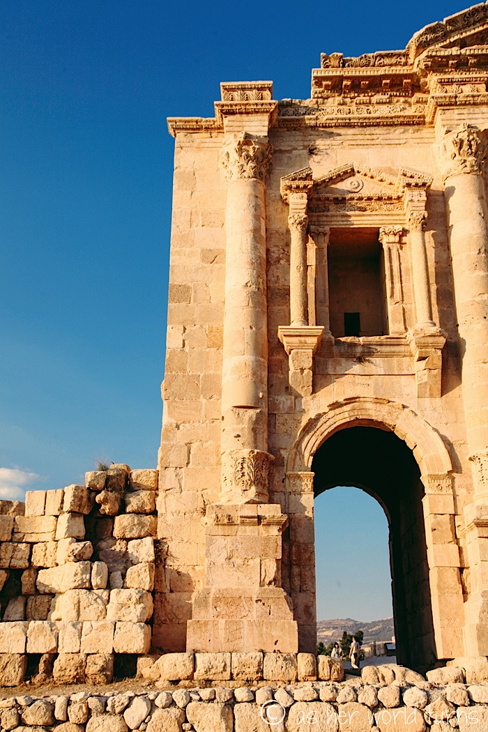
This is Hadrian’s Arch, above and below (in greater detail).
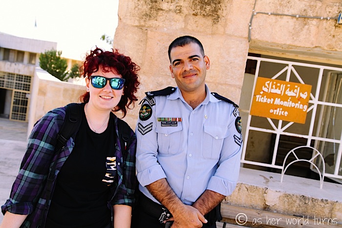
Each time she visits a new country, my friend Mel likes to pose with uniformed officers. Love this shot — this guard was totally on board with taking a photo. He then asked both of us to pose with him while his co-worker snapped a shot of all three of us on his old school camera phone.
A funny thing happened on the way to the…
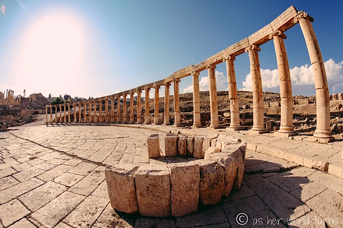
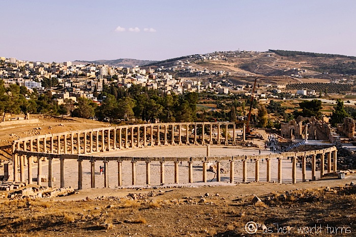
… Forum.

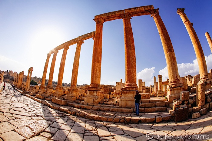
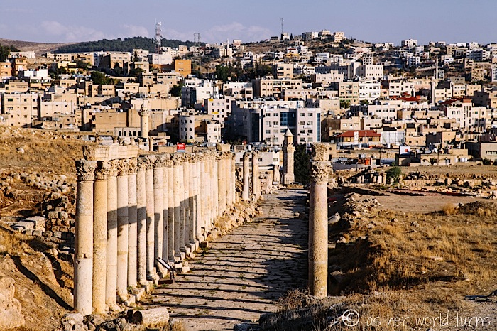
This is the Cardo, a colonnaded street that runs the length of the city; it was once lined with the city’s major buildings, shops, and residences. (via)
A THEATER!!
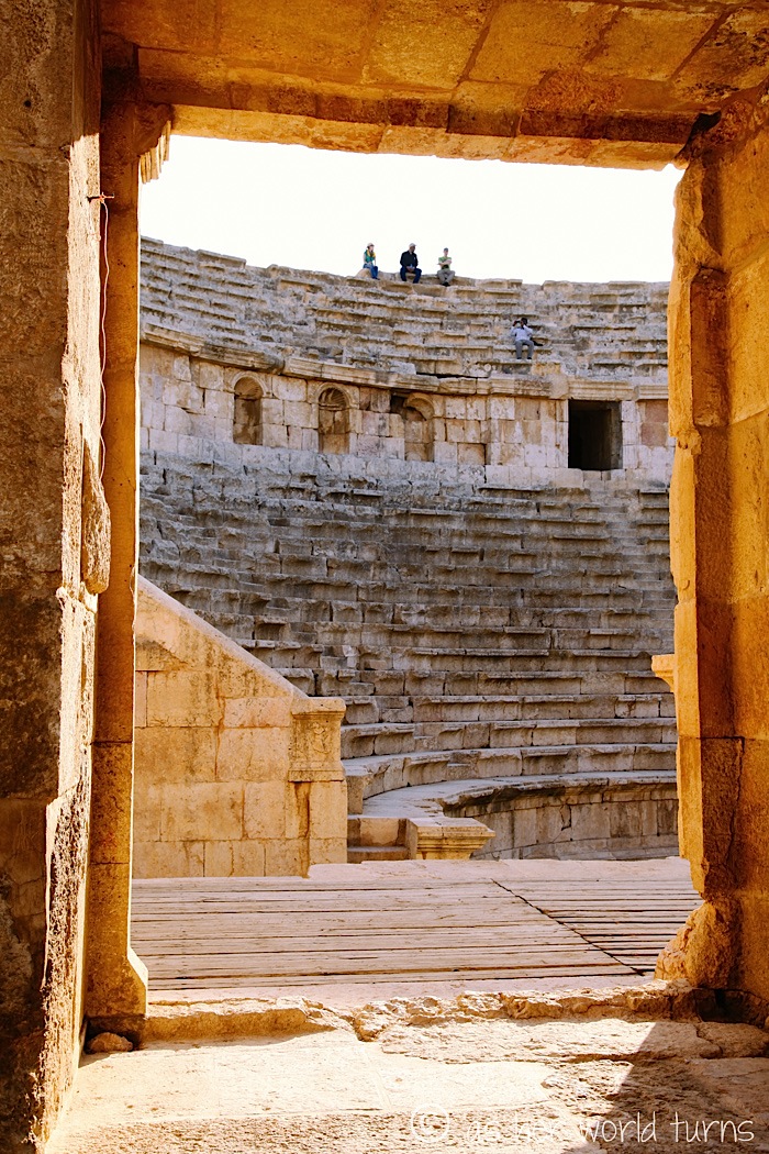
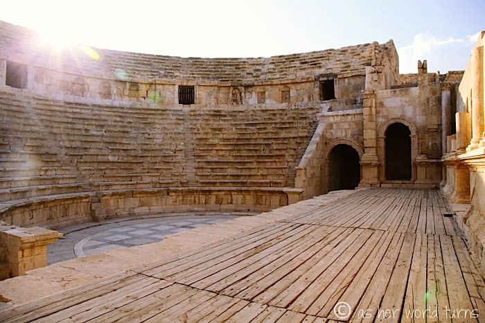
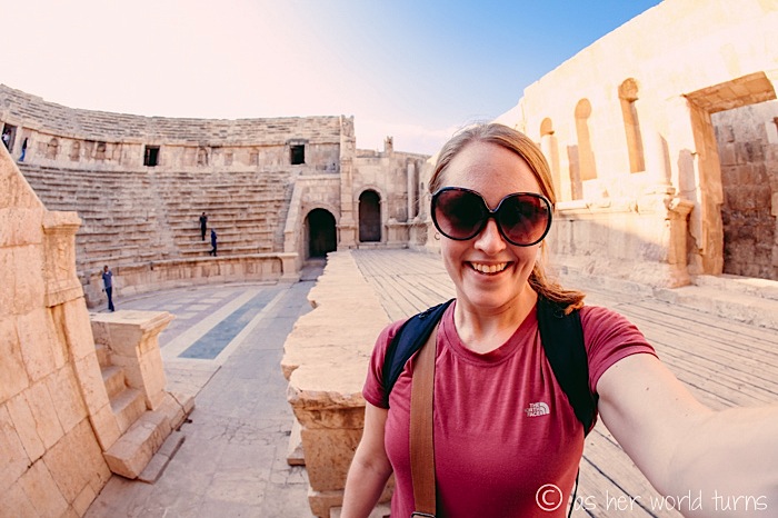
“All the world’s a stage…”
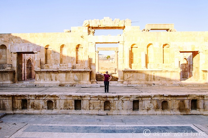
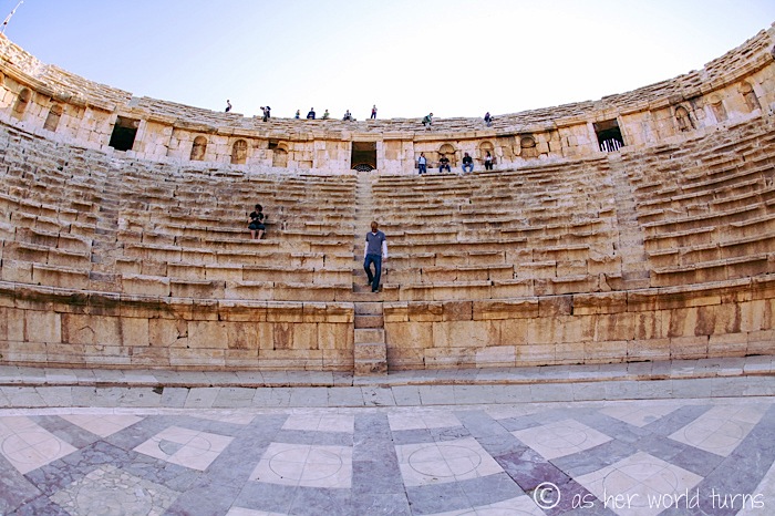
Oh look, they had a Standing Room Only section for the Arabic equivalent of Groundlings (over a thousand years before Shakespeare’s time) at the very front of the amphitheater.
A shot of the Forum from a distance.
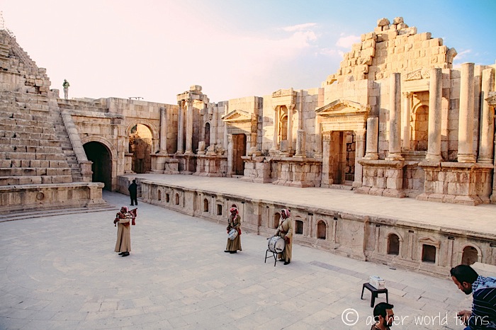
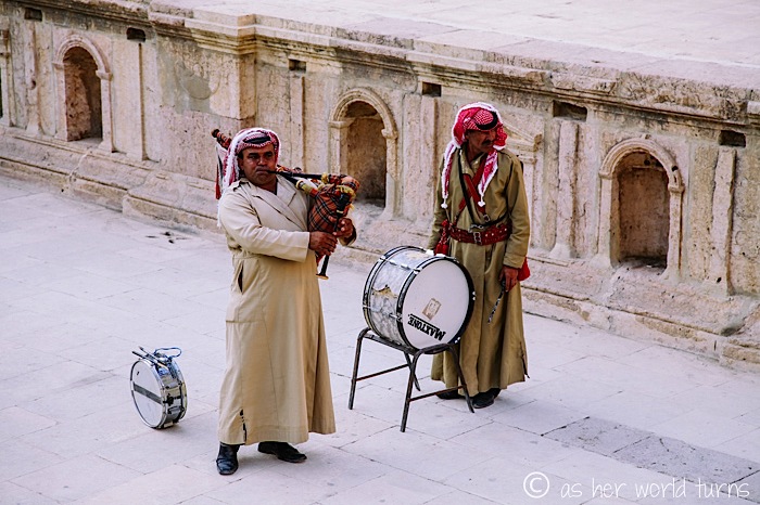
One of these Bedouin musicians is playing the bagpipe. Color me confused.
If memory serves correct, he’s playing Amazing Grace in this photo.
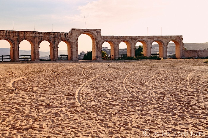
We pass the Hippodrome on our exit:
Those of you who watch Homeland will understand why I snapped a photo of this road sign on our drive back into Amman:
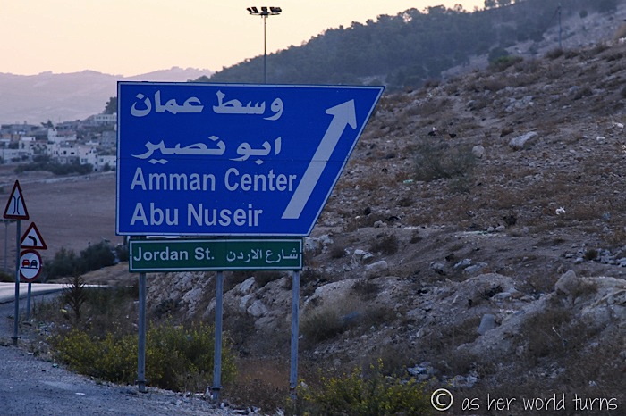
(Abu Nazir was an Osama bin Laden-type character on that show.)
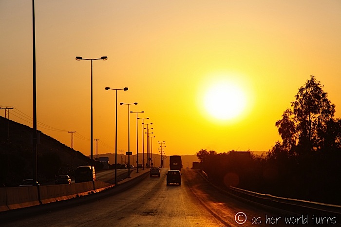
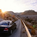
Our day ends with a blazing sunset over Amman.
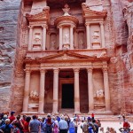
Tomorrow, we’ll make our way to Petra!