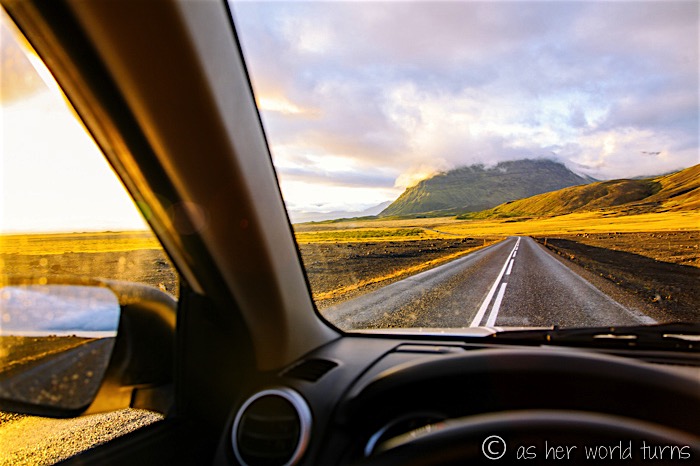
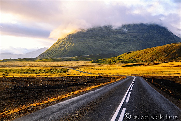
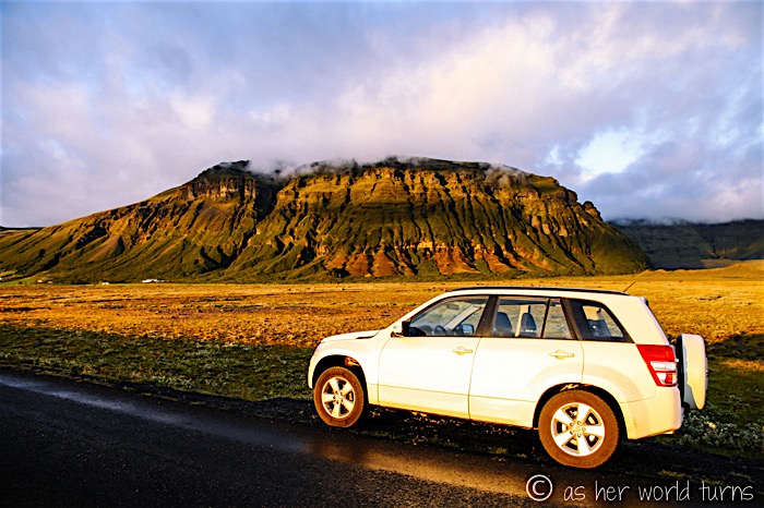
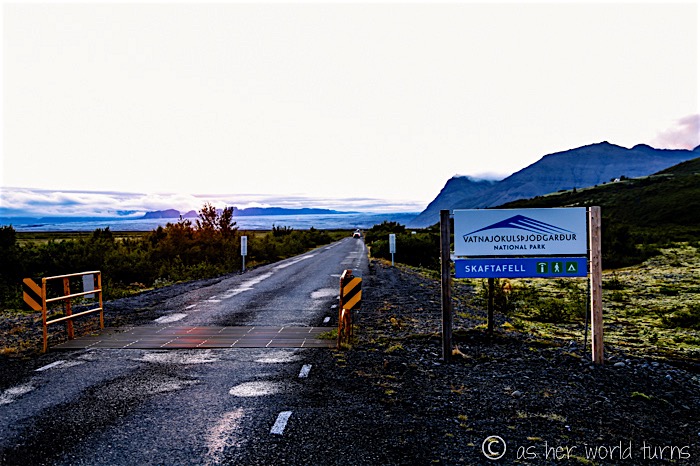
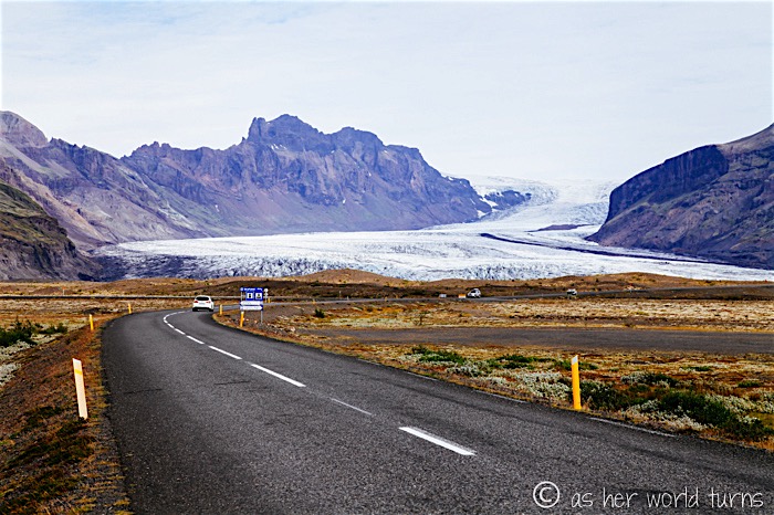
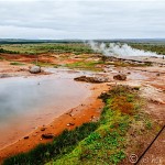
Skaftafell is a preserved area in southeastern Iceland. It used to be its own national park, but back in 2008 it was encompassed by the much larger Vatnajokull National Park. The Skaftafell Visitor’s Centre sits at the main entrance with a large parking lot for access to hiking trails, glacier views, camping, adventure activities, and more. I head here right after my afternoon at Jokusarlon and Fjallsarlon glacier bays — it’s about 40 minutes from there to Skaftafell, but since this is Iceland I pull over for photos maybe 7 times during this stretch.
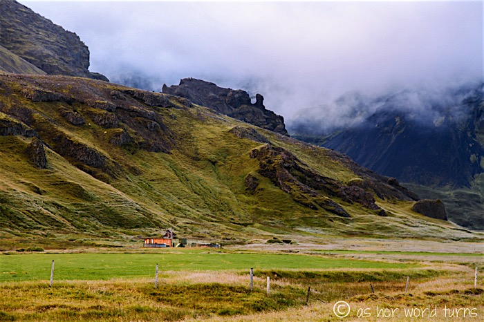
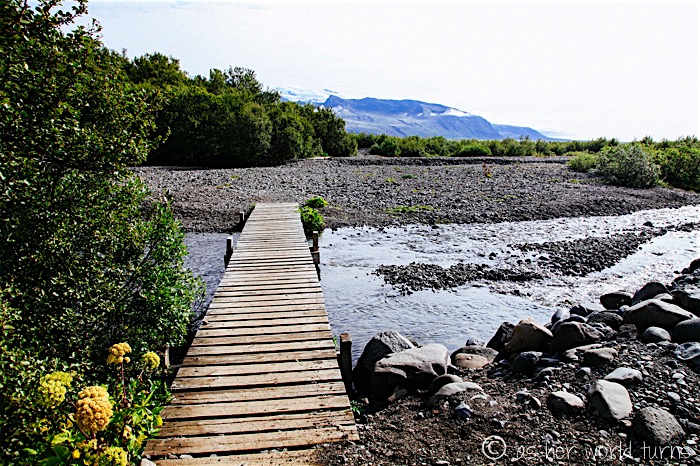
The entrance of Skaftafell at Vatnajokull National Park:
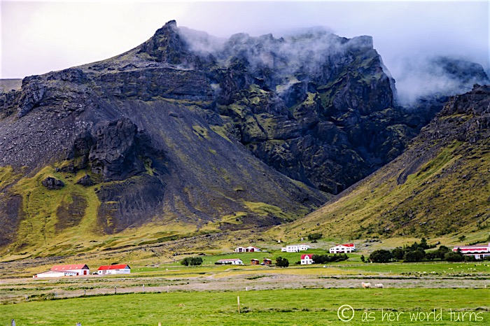
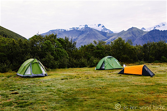
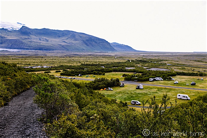
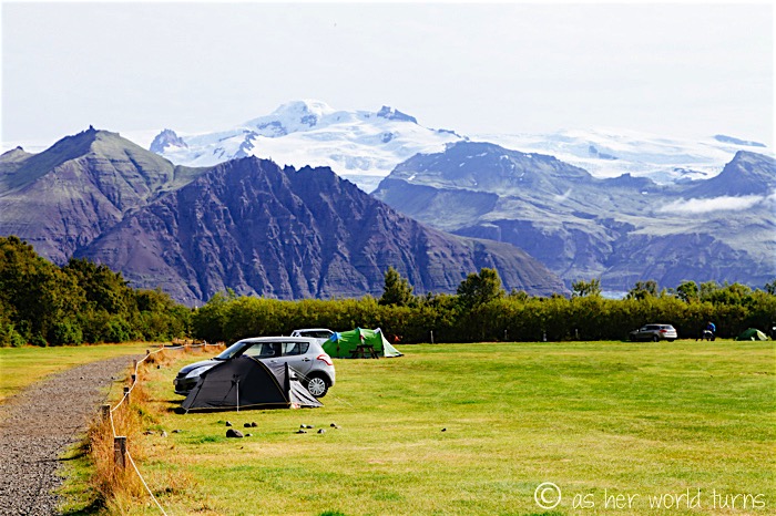
At the entrance of the campground (located directly adjacent to the Visitor’s Center) I pay the equivalent of around $12 USD to stay the night and then set up my tent in one of several open meadows the size of a football field. It’s nearly dark by the time I’m done. I use my JetBoil to make pesto ramen noodles (my go-to camping dinner) and then climb into my sleeping bag. Tomorrow’s a big day.
And… now it’s morning. That’s my green tent on the left below; mountains loom in the not-too-far distance.
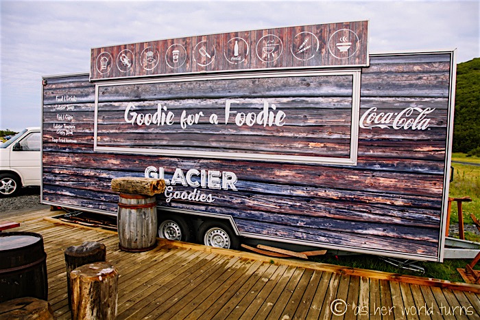
There’s a food truck that is open during the day at the campsite (in my opinion: if they were open later — like until 8pm — they’d get plenty of business from campers during the summer months). I scope out the lunch menu and it is a little pricey, though.
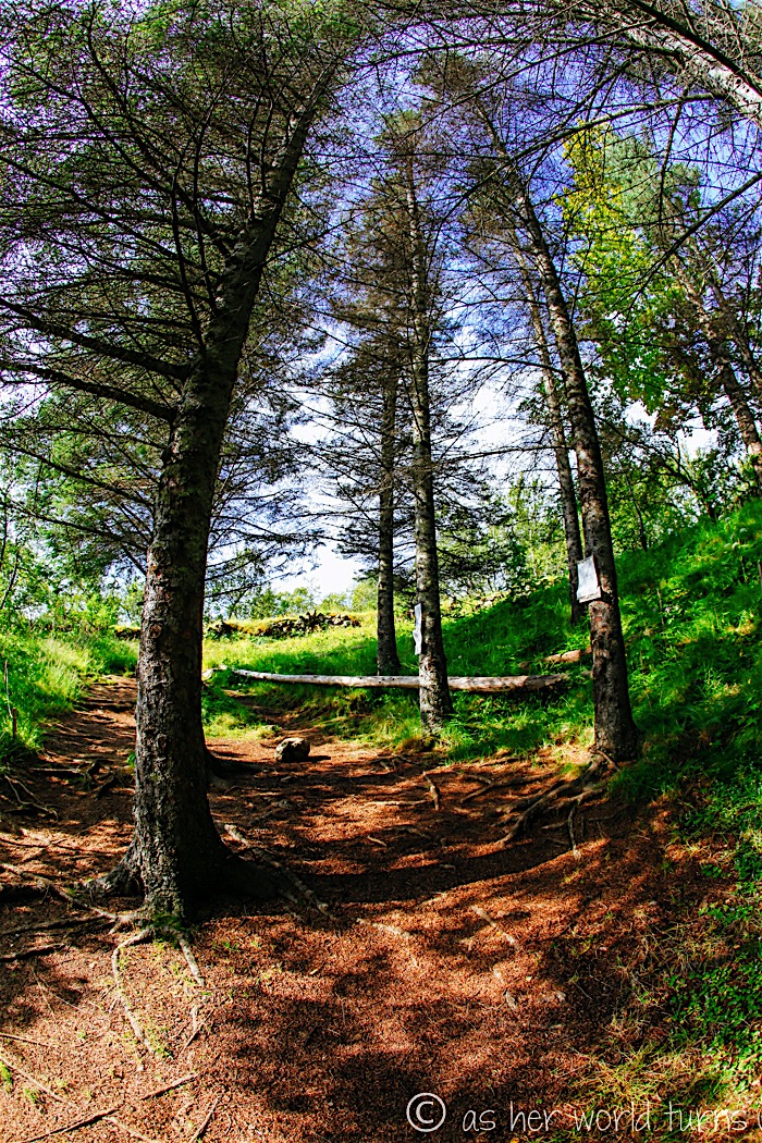
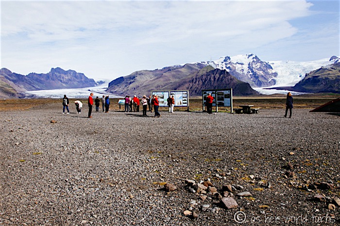
After packing up my tent, I wolf down a quick breakfast — I have about two hours to hike the more popular trails at this park. I pop into the Visitor’s Centre to pick up a map. After double-checking my route with a woman at the main counter, I set off on a trail that runs above the campground:
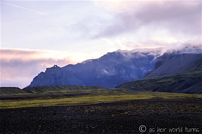
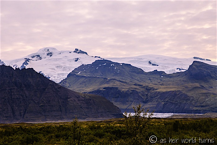
Mountain glaciers in the distance:
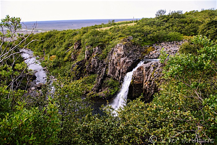
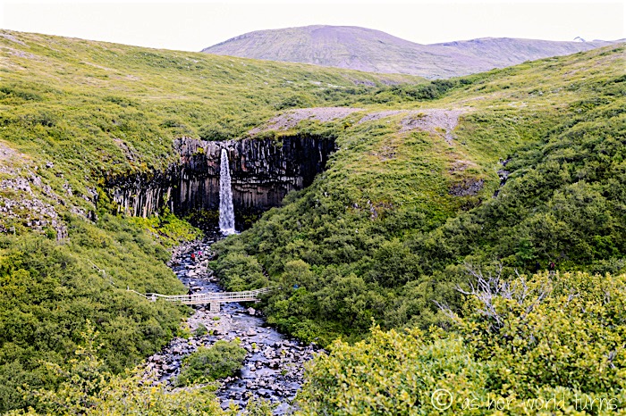
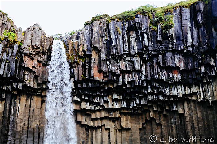
The first waterfall:
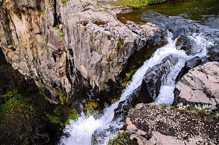
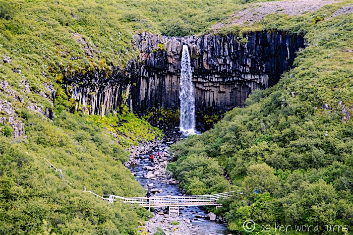
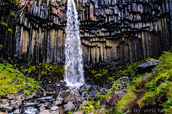
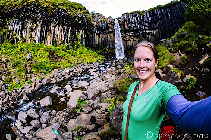
That is Svartifoss waterfall in the distance; it’s probably the most popular and recognizable spot in Skaftafell:
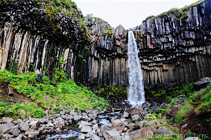
Svartifoss is known for its basalt columns — impressive hexagonal formations hanging off the waterfall’s cliff:
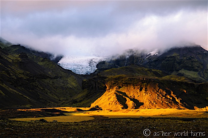
Due to my limited time here, I skip the glacier viewpoint. This sort of kills me — months later, I still wish I’d had an extra 30-ish minutes to hike there and back.
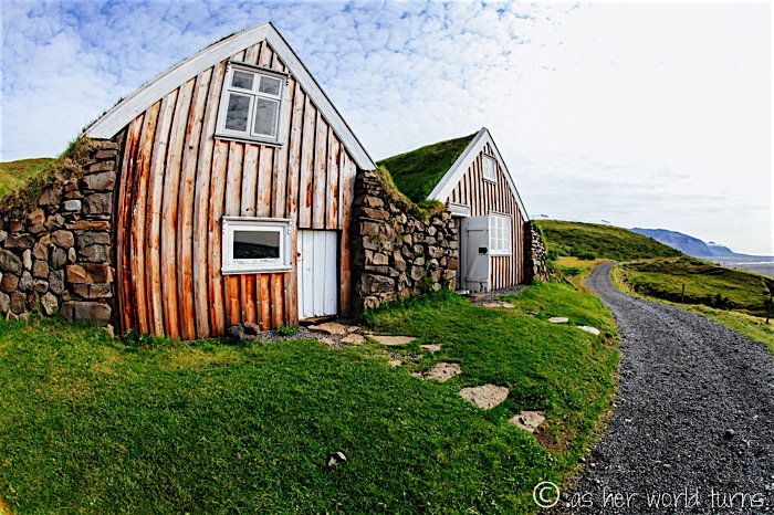
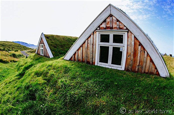
And now we reach the highlight of this hiking trail — and the reason I skipped the glacier viewpoint in favor of this one — turf houses!
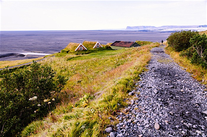
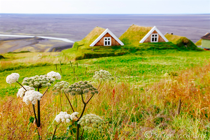 Iceland does not have a lot of trees, so wood is a scarce resource here. This prompted early Icelandic settlers to get creative — they often built homes into the hillside, which offered insulation in a harsh climate. These structures require much less wood than a traditional home.
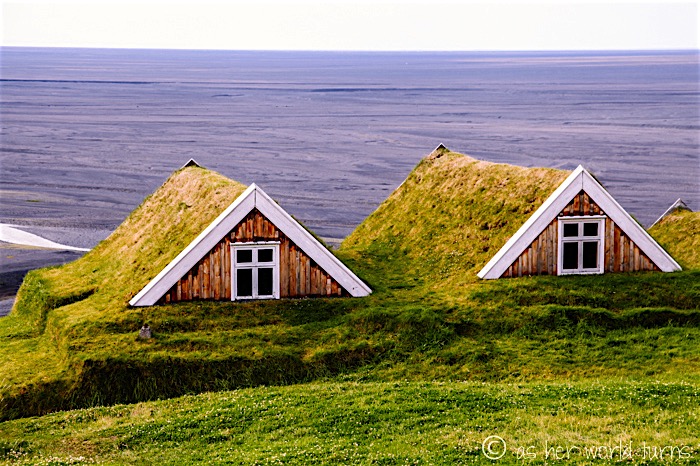
I’ve been eager to see turf houses since I arrived in Iceland. Google tells me there are at least two turf house museums in the country, but today is the first time I’ve encountered any of these structures. I go a little nuts shooting them from as many angles as possible.
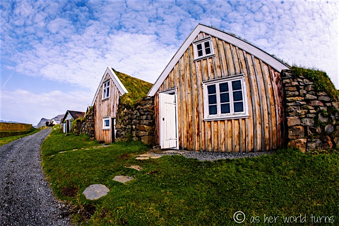
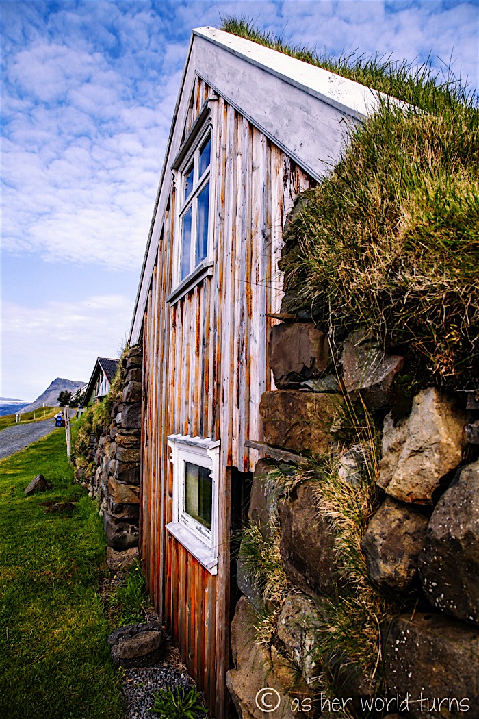
What’s cool about these historic turf houses is that one is open to visitors. You can wander around and take photos as you wish. Remarkably, I only see about five other people during the 20 minutes or so I spend here.
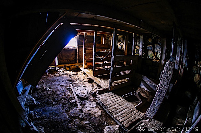
This used to be a barn; the animal stalls remain:
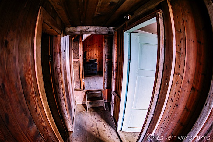
First level of the turf house:
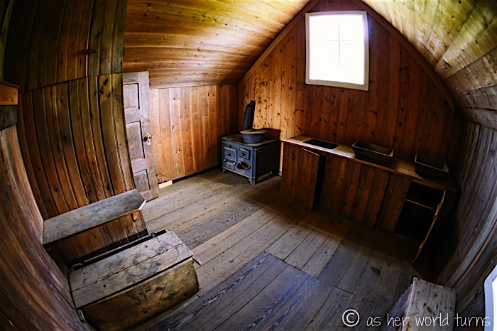
Rather spacious kitchen:
There are at least eight beds upstairs — four in each of the adjoining rooms:
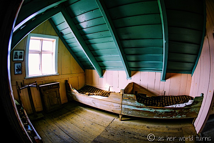
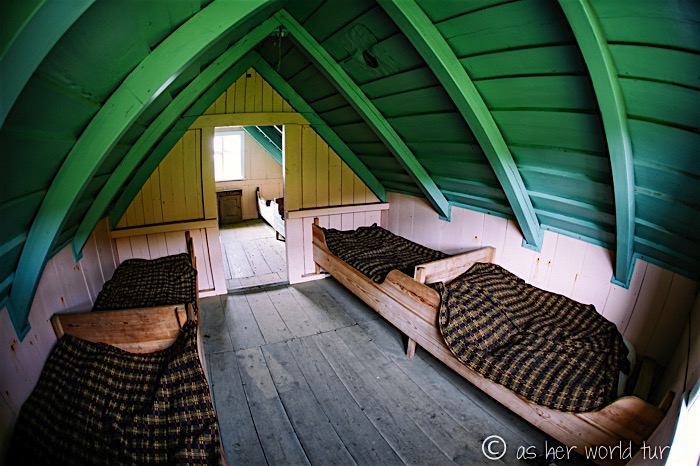
I could not resist:
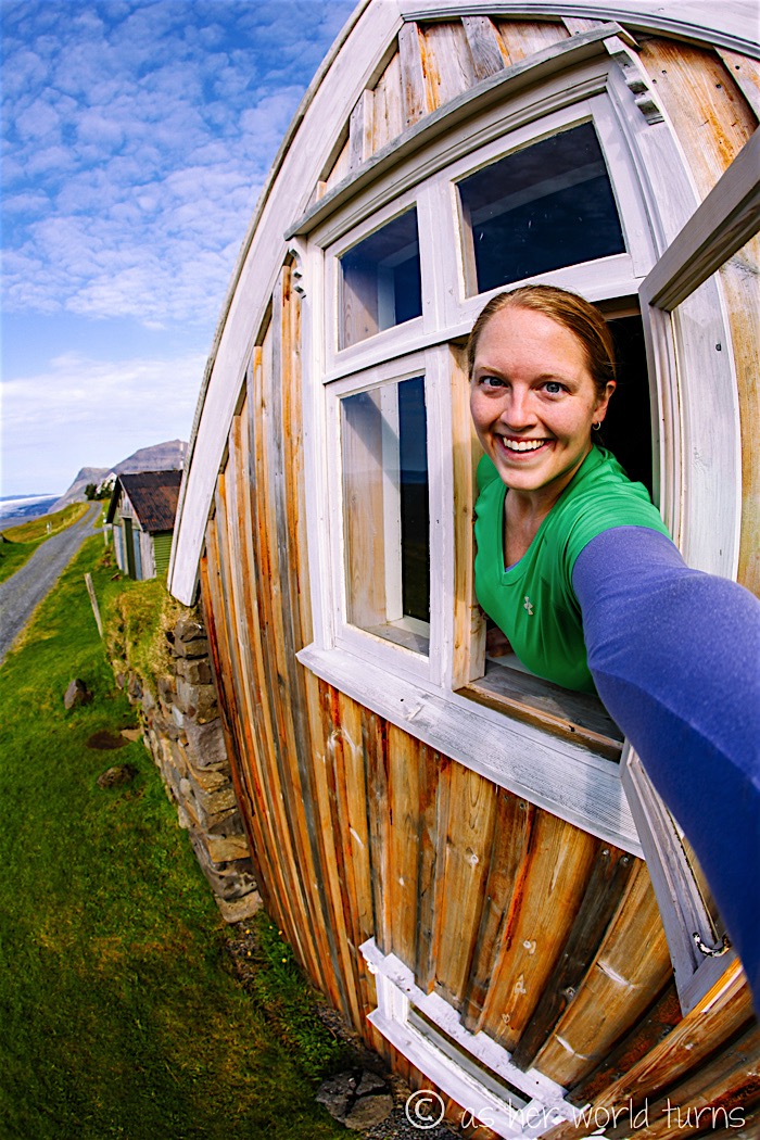
View from the back — that’s the bedroom window on the upper level, but because of how the home is cut into the hillside, the ground rises up to meet it:
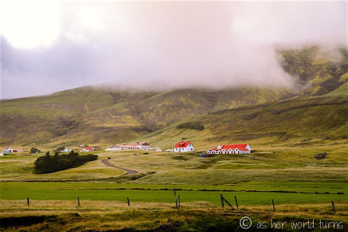
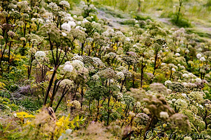
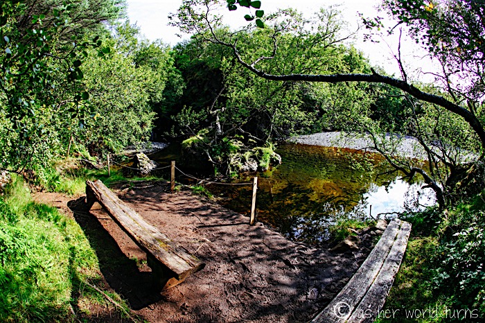
While hiking back down to the campground, I pass by a lovely meadow and stream.
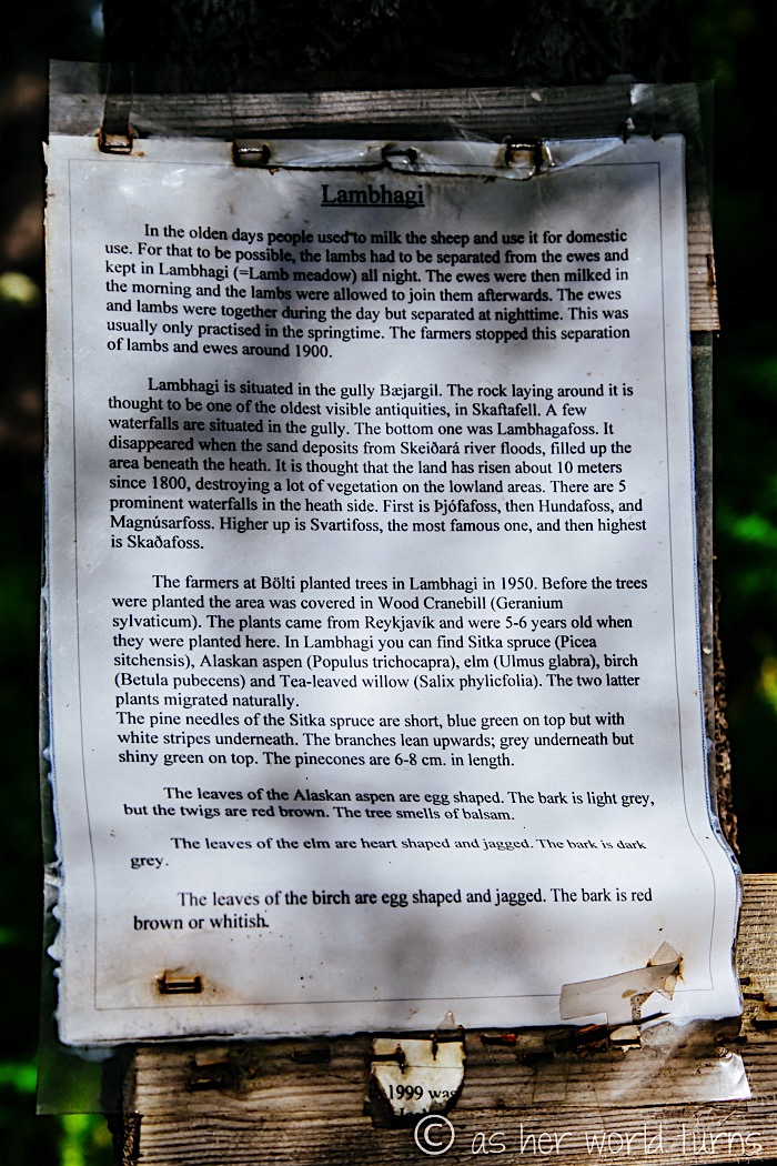
In the area above, this information about sheep, lambs, ewes, and their former milking habits catches my eye:
Heading back to the campground…
I hop in my car and quickly make a PB&J sandwich for lunch. Time to get moving — lots to see this afternoon!
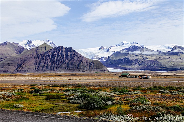
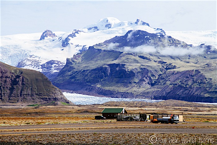
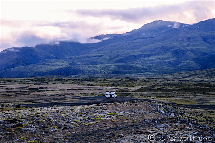
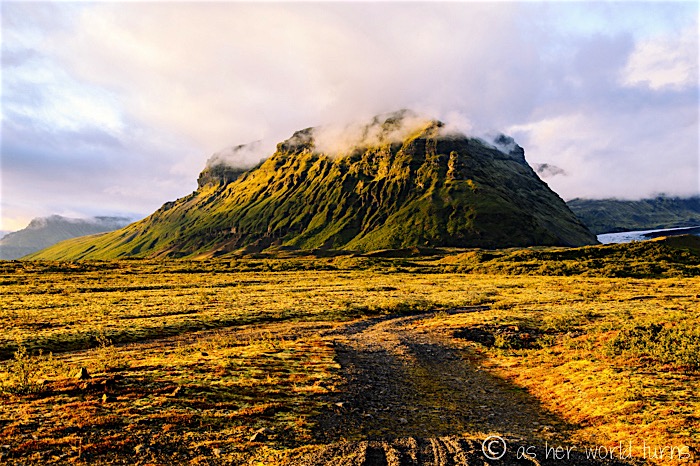
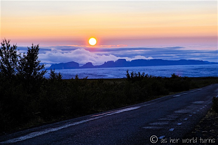
I stop a few more times on my way out of Skaftafell to admire the glacier — it truly is enormous:
There’s a viewpoint just up the road:
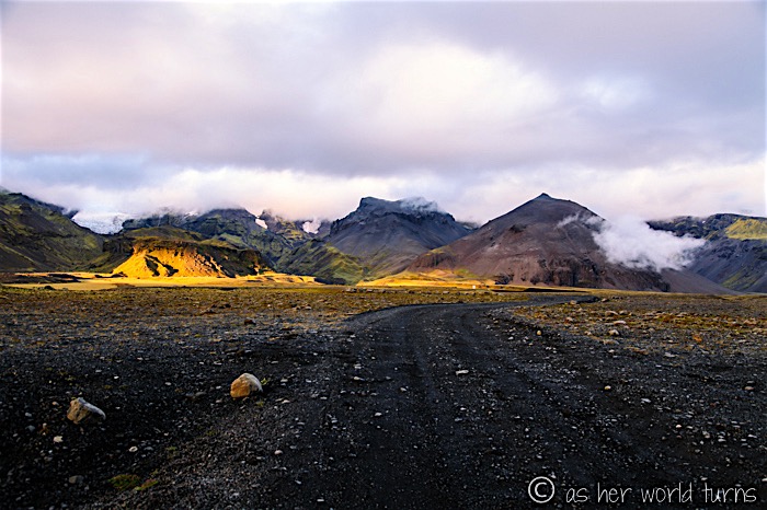
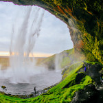
Today is my final full day of driving in Iceland, and it’s a doozy — I’ll see an abandoned airplane on a black sand beach, a waterfall that you can walk behind, and Icelandic horses grazing on the side of the road. More photo highlight posts coming this week.

It is a very unique place.
Yes, I’ve never seen anything like these turf houses before.
Hi! Where exactly are these turf houses?
Those turf houses are along one of the trails in the park. I would recommend stopping in the visitor’s center before you hike, and they will give you a map and point out exactly where the turf houses are. I think I hiked for only two hours total — so not too long — and on that loop I visited both the iconic Svartifoss waterfall and the turf houses.
You are right, there are so many stunning places in Skaftafell area. We had just half day for it and it was so short time. My sons insisted on hiking to glacier viewpoint but then we had just 15 min for Jokulsarlon.
So much to see there! Glad you got to explore some of it!