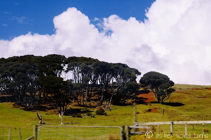
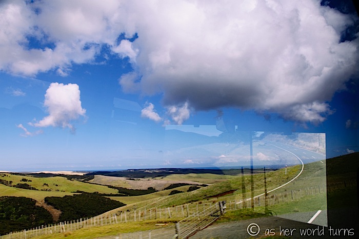
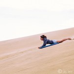
Today’s day-long tour of Cape Reigna is included with the Stray Everywhere bus pass. This proves to be an excellent value as we enjoy a jam-packed day of activities ranging from surfing on sand dunes, driving right on the beach, and hiking to a lighthouse.
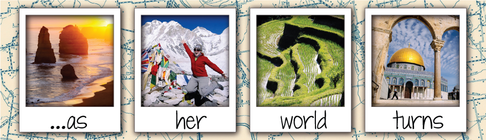
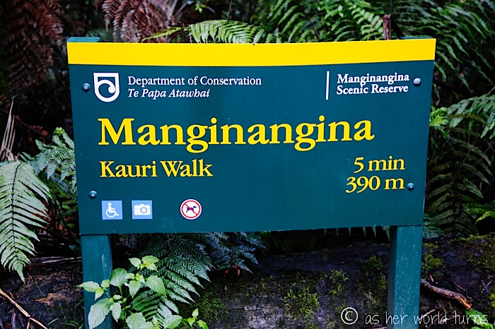
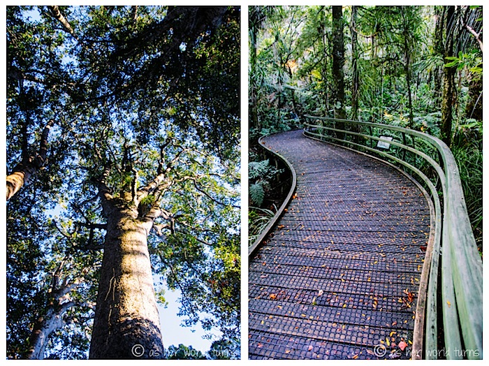
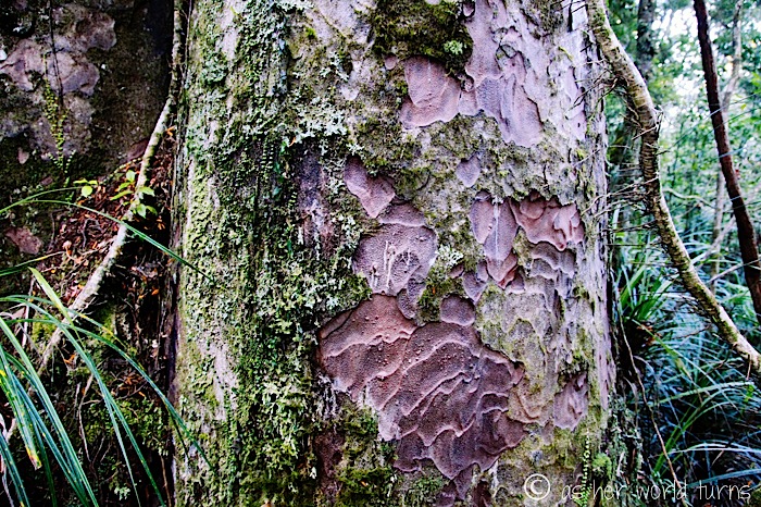
We begin at the Manginangina scenic reserve to walk amongst the giant Kauri trees (similar to the one we saw on our drive up to Paihia).
Go ahead, try to say this name out loud. I’ll wait.
Our guide reveals it’s pronounced Manin-ah-ning-a. It means “now you see me, now you don’t” in the Maori language.
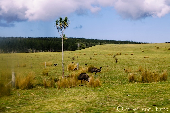
As we inch closer to Cape Reigna, we pass a farmer raising ostriches.
These trees are everywhere and they remind me of large broccolini bunches in tree form.
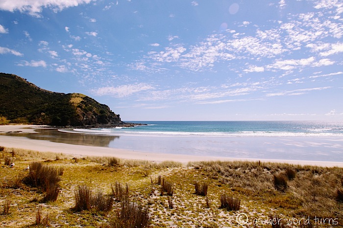
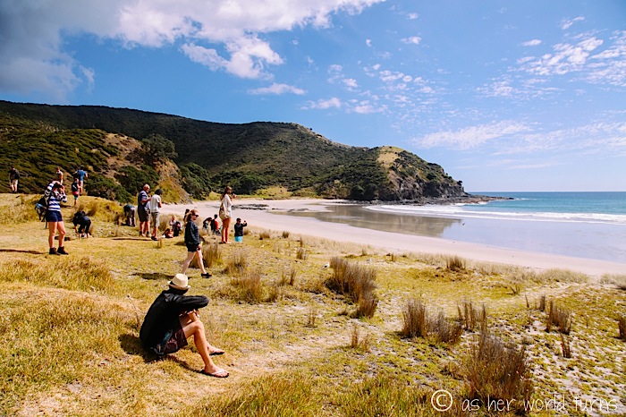
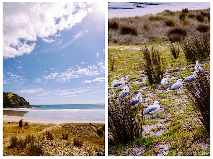
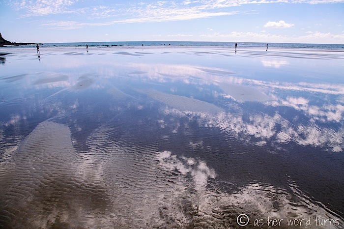
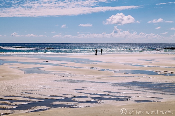
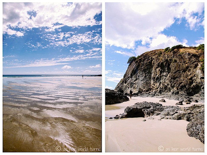
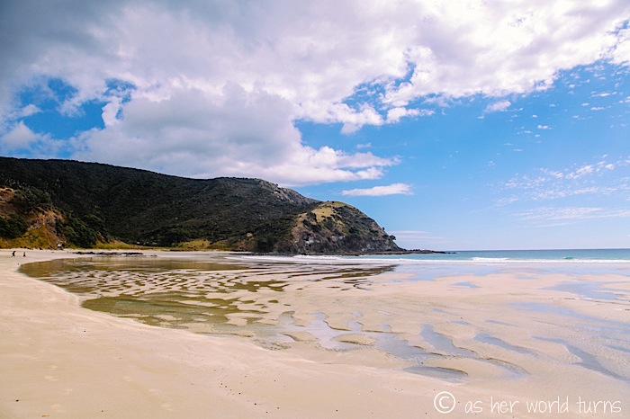
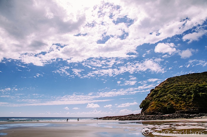
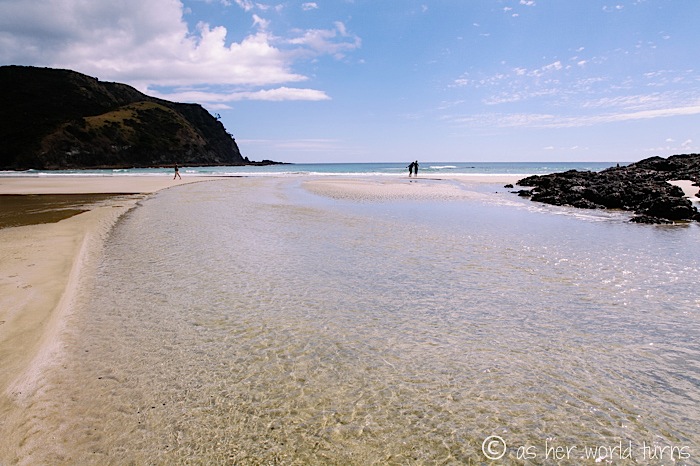
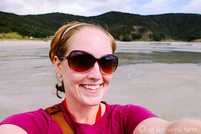
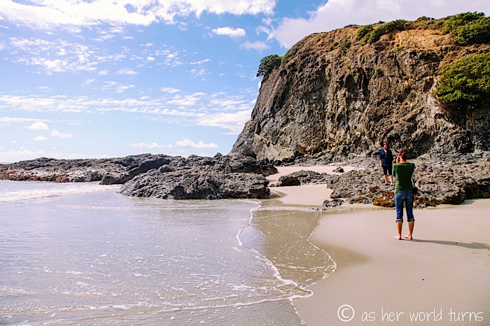
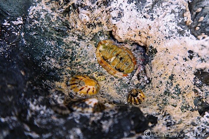
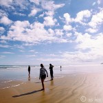
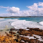
We stop at a beach just south of the Cape Reigna lighthouse for about 45 minutes.
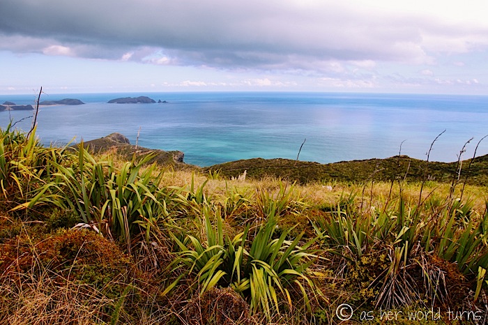
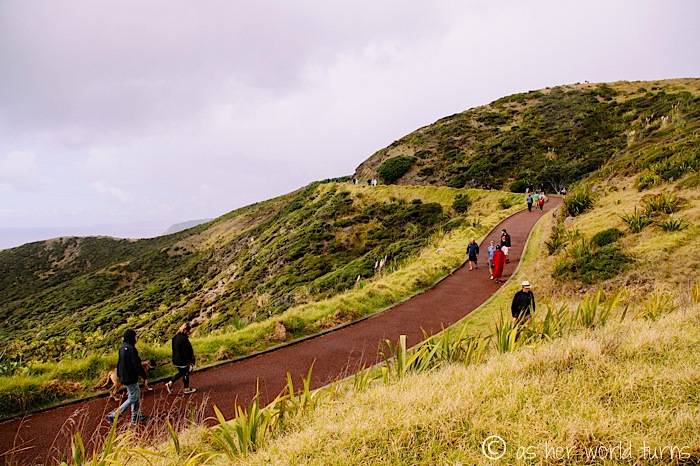
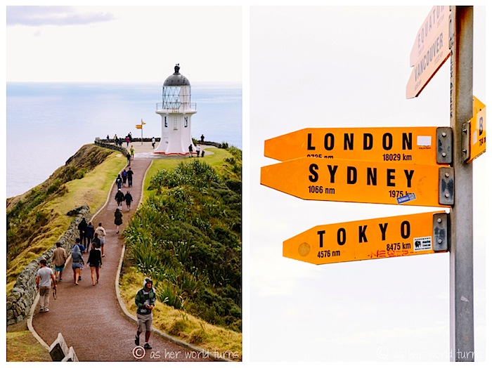
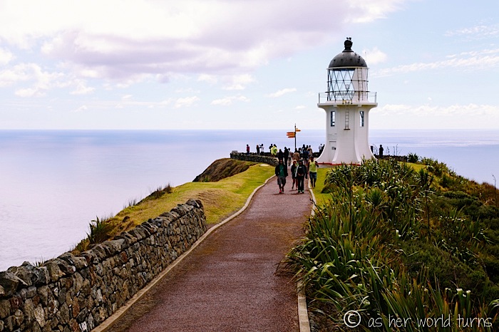
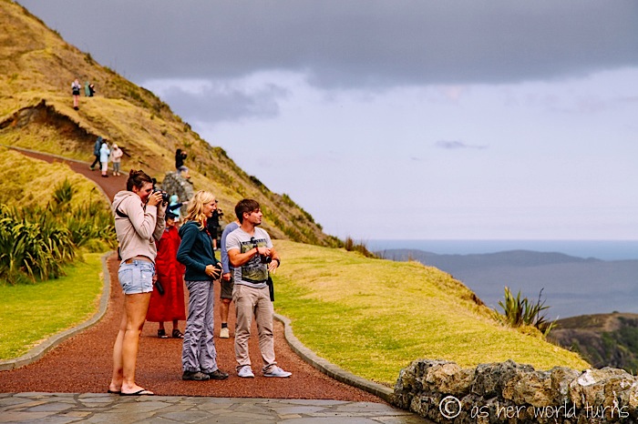
It begins to rain as we arrive at the lighthouse trail. We trek on anyways.
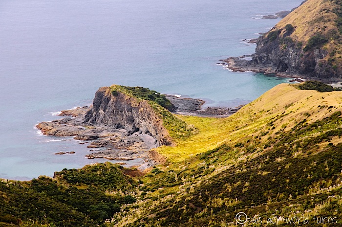
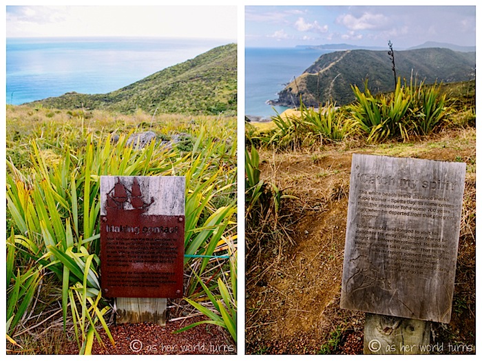
This is the very top of New Zealand. The Maori people believe that when a person dies, their spirit travels up north to Cape Reigna. It’s a sacred area for them.
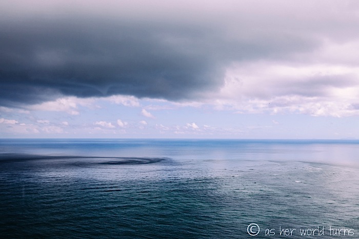
Another neat fact: this is where the Pacific Ocean and Tasman Sea meet.
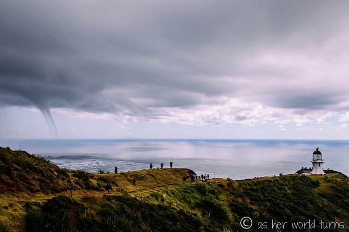
The lighthouse is semi-visible on the point below:
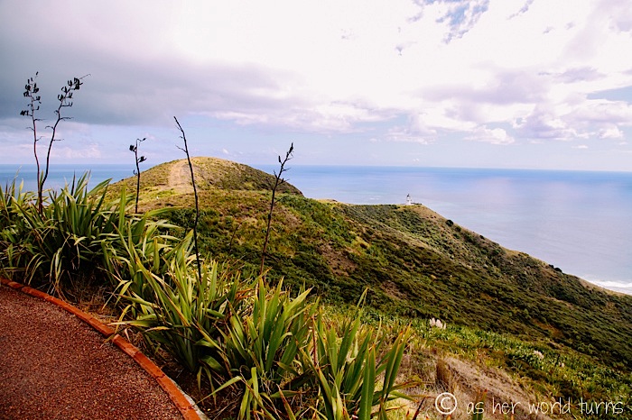
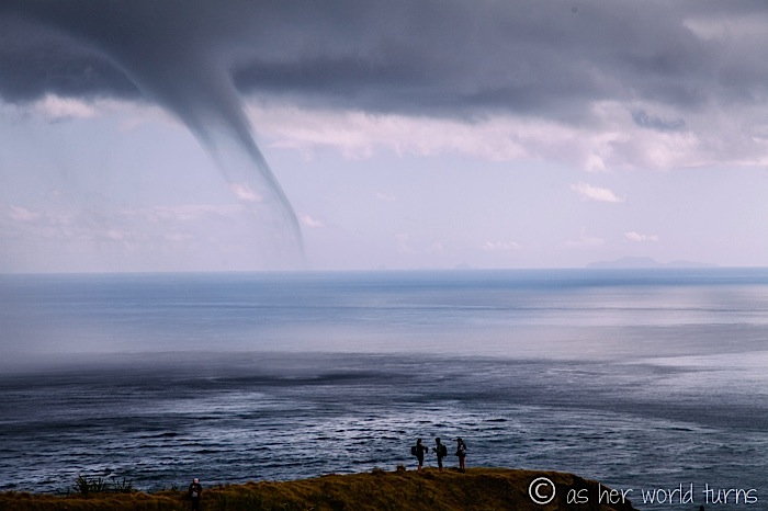
Storm clouds are brewing… little do we know what’s in store as we begin the 20-minute walk to the lighthouse.
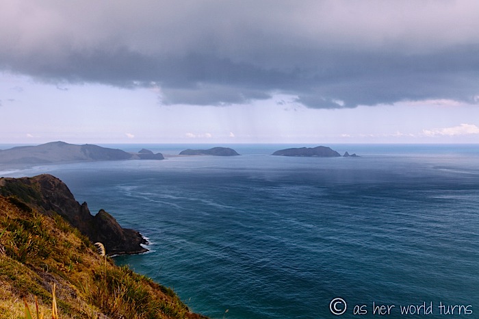
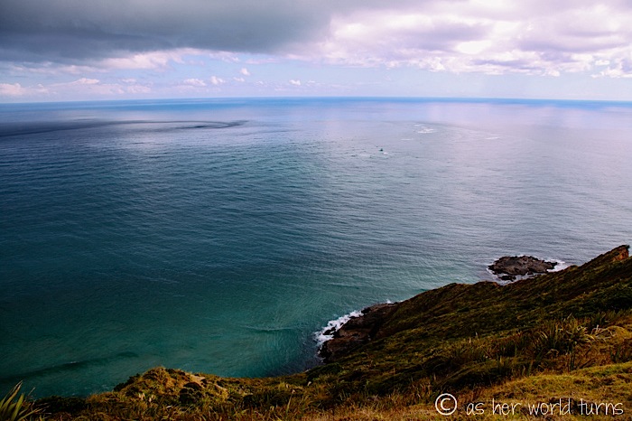
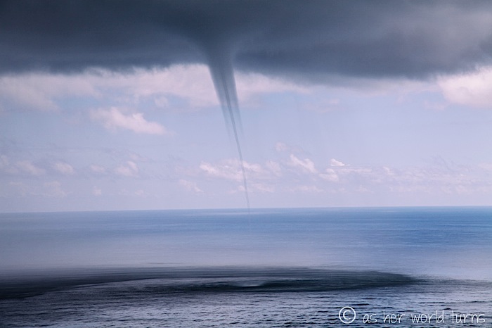
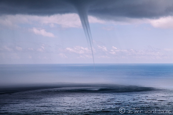
The swirling waters below mark the exact point where the Pacific Ocean and Tasman Sea intersect.
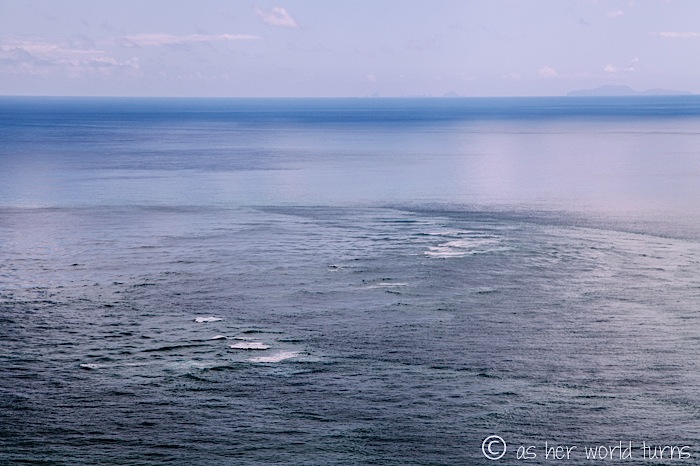
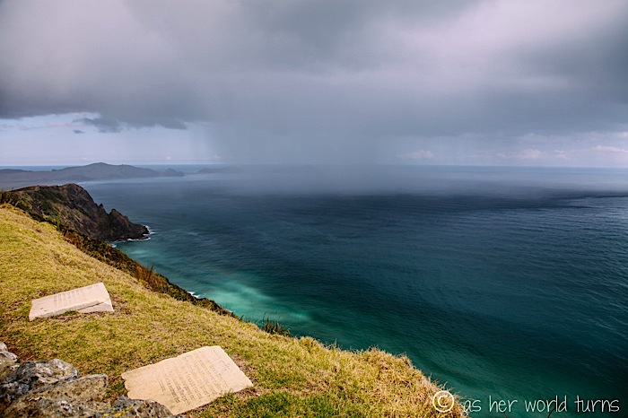
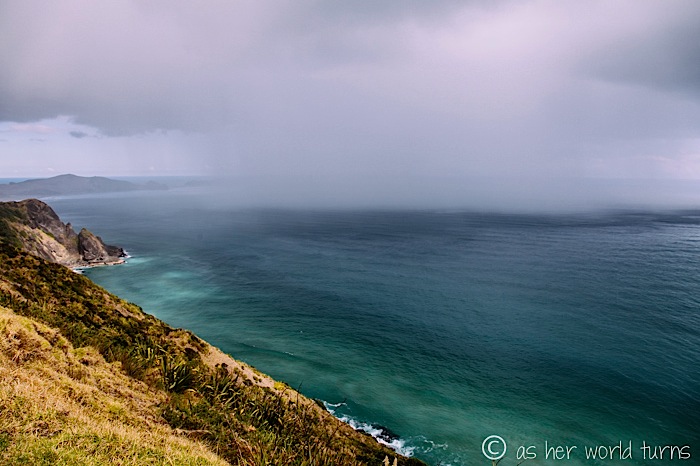
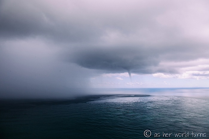
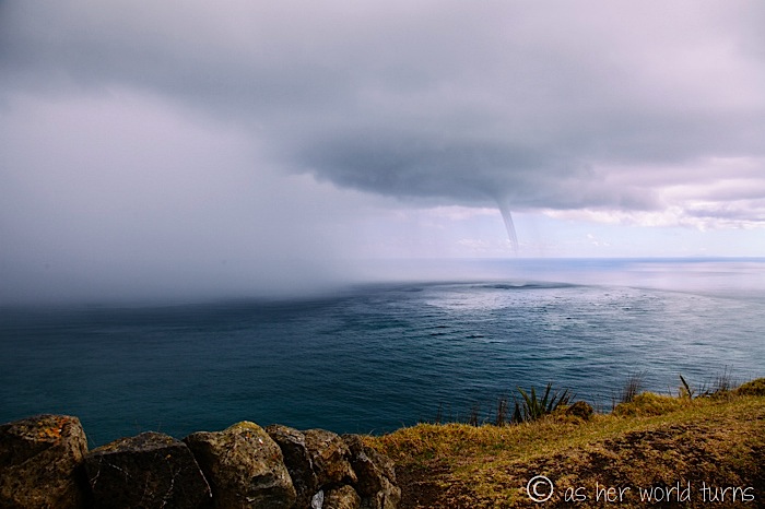
We grow concerned at the churning waters in the distance.
And the wall of water headed straight towards us. We’re still a 20 minute walk back to the bus.
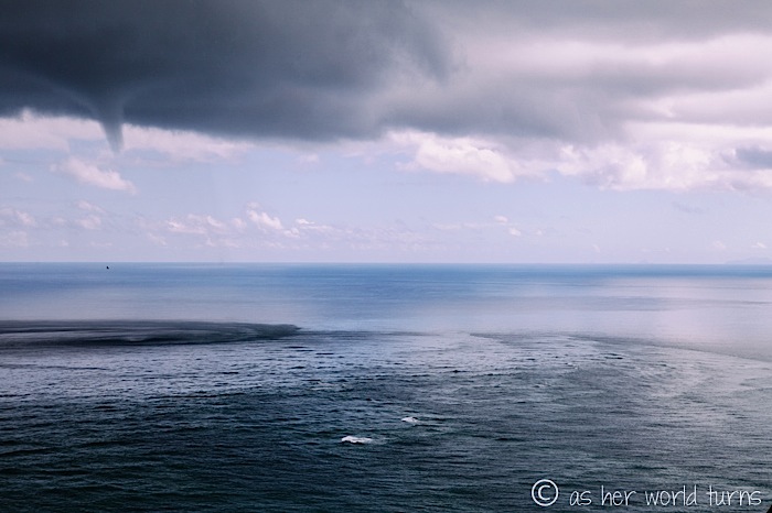
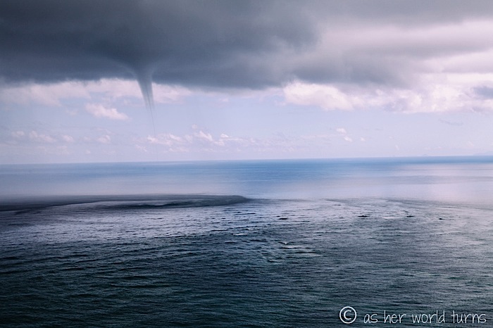
Do the swirling water and clouds look like they’re connected?
The wall of water on our left inches forward. We’re dry at the moment but there’s not much time left, so we snap a few more photos before the downpour starts.
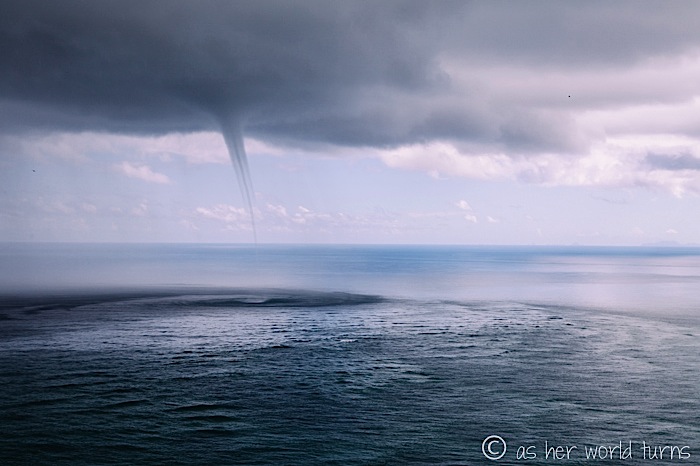
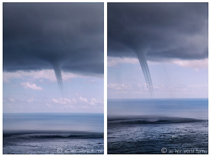
The giant cloud begins to funnel down towards the rough water.
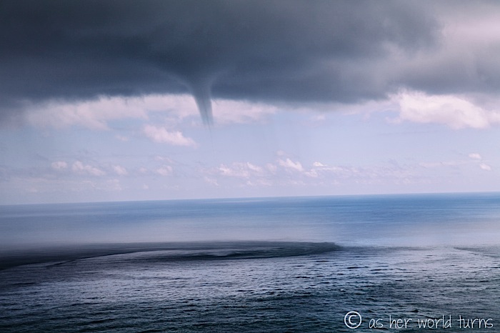
No question about it: we are witnessing the beginning of a tropical storm.
It’s enthralling; we can’t tear our eyes (or cameras) away.
It begins to subside as we make a mad dash for the hill leading up to the bus.
Exhilarating! We climb back on the bus dripping wet. Our day isn’t even half over; check back tomorrow for our boogie board adventure on the sand dunes.


Great photos! Especially the funnel cloud and where the two waters intersect. Had to check my atlas for that one.
Manginangina……thought it might be a baked Italian delicacy.
Thank you! That funnel cloud was surreal. We knew we should turn around and hightail it back to the bus but it was hard to turn away! And I like your interpretation of the word Manginangina!
E,
You’ve become the equivalent of a CNN weather reporter! Stunning pics – both dry and wet!
XO,
UD.
Ha, thank you! That was a (perhaps unexpectedly) adventurous day; I’ve never seen weather like that before. And yes, wet or dry, it’s a spectacular area!
xo, E
Unbelievable pics of those clouds. A great photographer knows how to pick the day 🙂
Thanks Arwin! We were lucky to be there at the right hour. I’ll never forget that sight. Weather is a powerful force!